Scheduled for publication November 1, 2020 in a limited edition of 50.
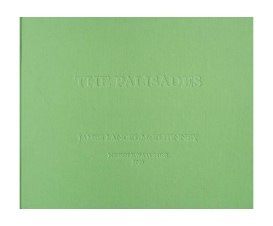
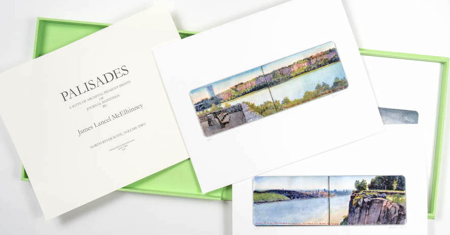
Cloth-covered handmade Solander (clamshell) box with debossed titles
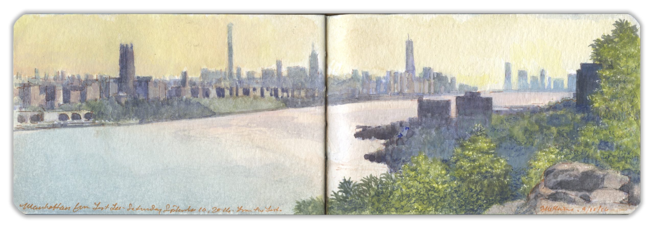 Looking South from Fort Lee, New Jersey
The Lenni Lenape called the Palisades “Weehawken” (“rocks that look like trees”). On a grassy ledge just north of the western portal of the Lincoln Tunnel, Vice President Aaron Burr mortally wounded former Secretary or the Treasury Alexander Hamilton in a duel fought on July 11, 1804. The site is six miles downstream from this overlook. The southern end of Fort Lee State Park is marked by a steep declivity, a break in the sheer precipice that girds the western bank of river. Across the Hudson, northern Manhattan landmarks such as Riverside Church and Grant’s Tomb are visible, with the towers of Midtown and Lower Manhattan beyond.
A century earlier, Fort Lee had become a major center of motion-picture production. William Fox established Fox Film Corporation in 1915. Young Thomas Hart Benton worked in Fort Lee as a scenic artist. Film crews shot cliffhanger endings along the Palisades for serials like The Perils of Pauline. Despite the sylvan setting, there was a constant roar from the bridge. A golden haze of airborne pollution threw the distant skyline out of focus.
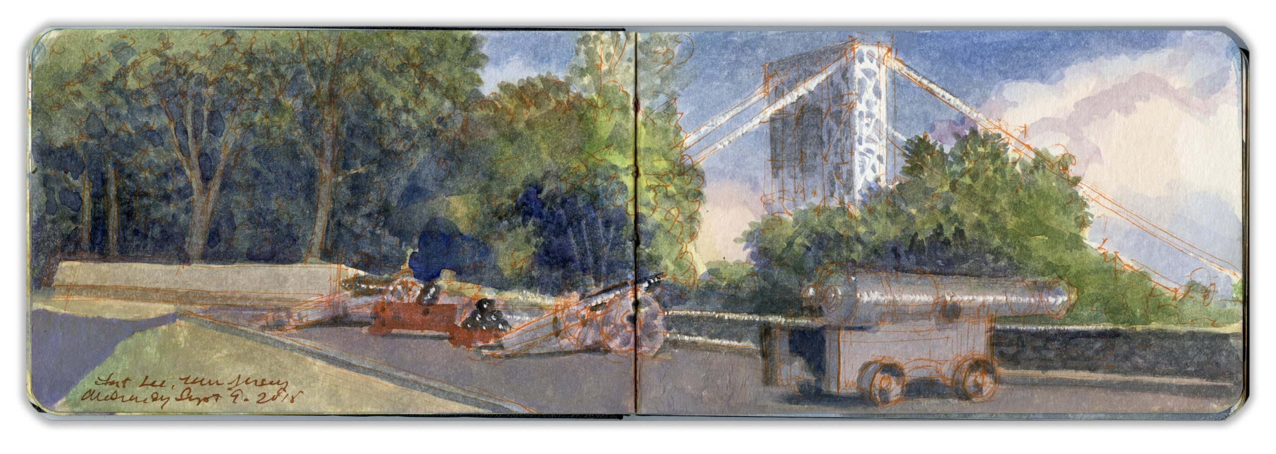 Revolutionary War Battery. Fort Lee, New Jersey
From Fort Lee, atop the Jersey Palisades, George Washington watched in horror on November 16, 1776, as British and Hessian troops overwhelmed Continentals who had taken cover in Fort Washington, a large earthwork occupying the highest point on the island of Manhattan. Shortly thereafter, Redcoats led by Charles Cornwallis scaled the Palisades a few miles to the north, intending to trap Washington with a flank attack. Washington executed a brilliant withdrawal across New Jersey and into Bucks County, Pennsylvania. Five weeks later he crossed the Delaware and fell on the Hessian garrison at Trenton, winning a stunning victory for the patriot cause.
Construction of the George Washington Bridge, which opened in 1932, carved a ditch through the basaltic diabase cliffs to accommodate the roadway. In 1937 New York and New Jersey created the Palisades Interstate Park Commission, with Monument Park (Fort Lee) as its southernmost terminus. For the bicentennial of the American Revolution, parking lots and an interpretive center were built. Earthworks were restored to re-create the feeling of an eighteenth-century fort. When I first visited the site, in the 1990s, the fiberglass revetments had faded and were cracking. Recent improvements replaced these with timbers. A blockhouse and cabin were built, along with a coastal battery. On the anniversary of the battle, artillerymen fire salutes from the cannons, rattling Manhattan windowpanes.
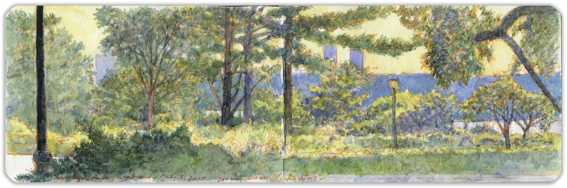
3. The Heather Garden, Fort Tryon Park
Northern Manhattan possesses nearly five hundred acres of parklands, divided primarily between Highbridge Park, Fort Tryon Park, and Inwood Hill Park, along with smaller parks and green spaces scattered across the island above 155th Street. Since the 1970s, nonprofit conservancies have played a key role in locating non-government funding for the maintenance and improvement of New York parklands. The New York Restoration Project planted one million trees, making New York one of the greenest cities in the nation. The Heather Garden and Alpine Garden in Fort Tryon Park attract thousands of visitors every year.
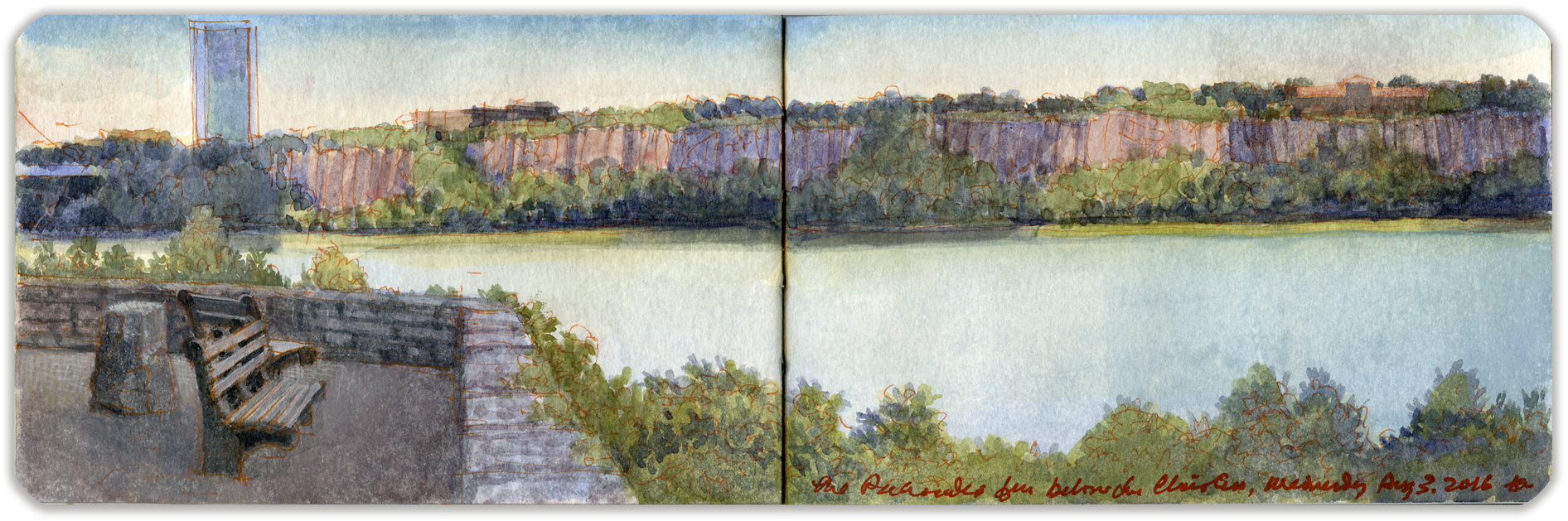
4. The Jersey Palisades from below The Cloisters
Shaded by rocky outcroppings, an esplanade runs along the bluff, offering spectacular views of the Jersey Palisades—a sheer wall of basaltic diabase sill. One hundred yards southeast of this prospect stands The Cloisters—a facility operated by the Metropolitan Museum of Art as a museum of medieval art, comprising reconstructed enclosures, gardens, and chapels collected by sculptor George Grey Barnard that later were acquired by John D. Rockefeller Jr. and reassembled atop North Hill in Washington Heights by architect Charles Collens. The site was previously occupied by an estate owned by industrialist, harness-racing enthusiast, and art collector Cornelius Billings. The rocky, vertiginous terrain known today as Fort Tryon Park is crisscrossed by stairways, trails, woodlands, and clearings laid out by Frederick Law Olmsted Jr. Trails descend to Broadway and Dyckman Street, where pedestrians and bicyclists can access a trail that leads downstream to the Battery. This view is from a ledge on the northwestern shoulder of North Hill, near the site of the advance of Hessians led by Johann Rall on November 16, 1776. Wildlife has returned to the park. While visiting, I have seen various avian species, including bald eagles, as well as woodchucks, skunks, raccoons, and worrisome reptiles.
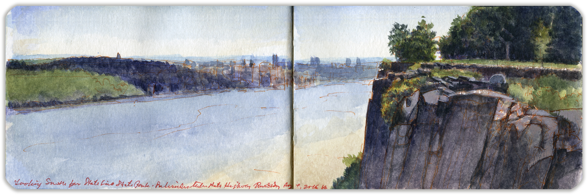
5. Yonkers from State Line Park
The Palisades Interstate Park Commission was created in 1900 by a mutual agreement between the states of New York and New Jersey to preserve the natural environment on the right bank of the Hudson River and to protect the Palisades from being quarried like Hook Mountain, an extension of the same basaltic sill that rises up from the northwestern shores of Tappan Zee. The parklands atop the Palisades are traversed by the historic Long Path, now part of the Empire State Trail. A short distance south of the boundary line between the two states, the trail reaches State Line Overlook, which is also accessible from the northbound lanes of the Palisades Interstate Parkway. A large parking lot serves the café, visitor center, and bookstore. The path at this point is macadamized. Several walled promontories have been built at the very edge of the cliffs. Looking north across the river one finds the village of Hastings-on-Hudson, with Dobbs Ferry beyond. To the south are wooded hills occupied by Lenoir Preserve, Untermeyer Gardens, and Trevor Park. Beyond, the warm tones of the masonry and tall buildings mark the location of downtown Yonkers. Taking note of the number of passing ships and oil barges, I tried to envision the Hudson in 1820, with a quotidian flotilla of several hundred steamboats and sailing vessels plying its waters, a major artery of trade and empire.
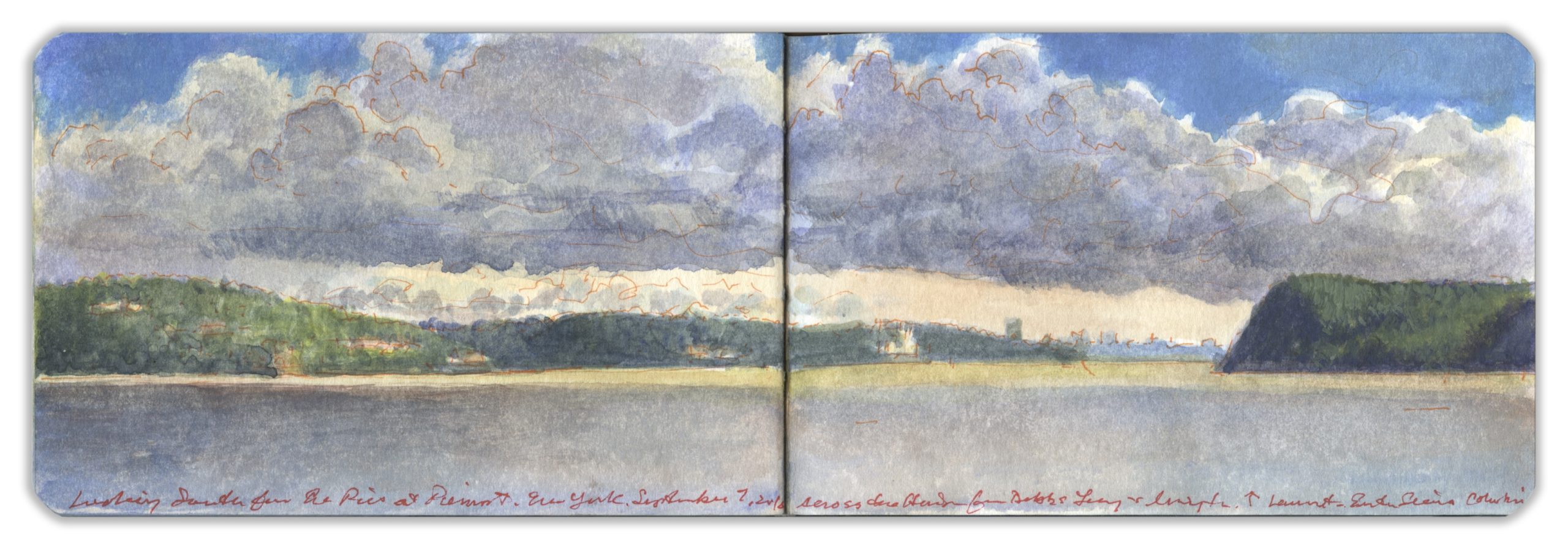
6. Looking South from the Lamont Weather-Station at Piermont
Piermont jetty juts into the stream, by the marsh at Sparkill’s mouth. Below Tallman Bluff the western shore becomes a wall, a pale of tall basalt. At its foot, thick-wooded margins shade heaps of giant rock-fall. Slipping past the eastern shore, past stately homes of patriots, poets and robber-barons, past Manhattan, harbor islands and The Narrows, past Brooklyn’s sandy beaches, through Raritan Bay, beyond Sandy Hook, the Hudson disappears into the Atlantic Ocean. The river is 507 miles long. At a rate of flow averaging three miles per hour, a specific volume of water takes one week to move from the source to the sea. It is intermittently navigable above the tidewater stretch of the river, but famously is fraught with treacherous tides and currents. Its indigenous name Mahicannituck is translated as waters that are never still, or the river that flows both ways
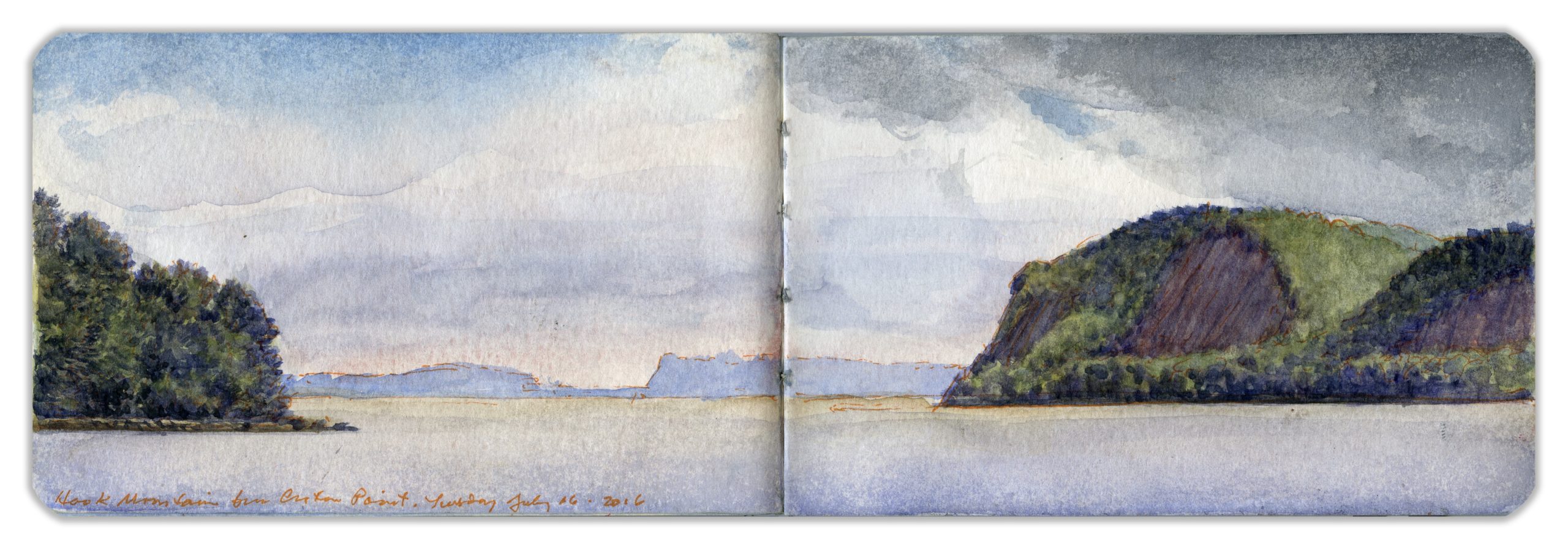
7. Hook Mountain and Tappan Zee from Croton Point
Extending from Nyack to the Tors towering over West Haverstraw, Hook Mountain is considered part of the Palisades that end just south of Piermont. A sheer basaltic escarpment, crowned by a narrow ridge, its name was inspired by its appearance on maps—as an inverted hook, with its point at High Tor. Located just north of the mouth of Croton River, the hilly peninsula known as Croton Point reaches out from the left bank, in a southwesterly direction. Marking the division between Tappan Zee and Haverstraw Bay, the land today is maintained by Westchester as a county park. The name is an Anglicization of Kenotin—the name of an indigenous tribal leader who lived near the mouth of the eponymous river during colonial days. The cluster of trees seen to the left is Crawbuckie Park. Far in the distance, across the Tappan Zee, is Tallman Mountain, the northern end of the Palisades. Traveling upriver, the lower Hudson is a series of seas and bays, from Raritan Bay through The Narrows, from the harbor into North River channel. Beyond lies Tappan Zee, Haverstraw Bay and Peekskill Bay. To be precise, here the Hudson is not a river, but a tidal estuary reaching another hundred and thirty miles upstream.
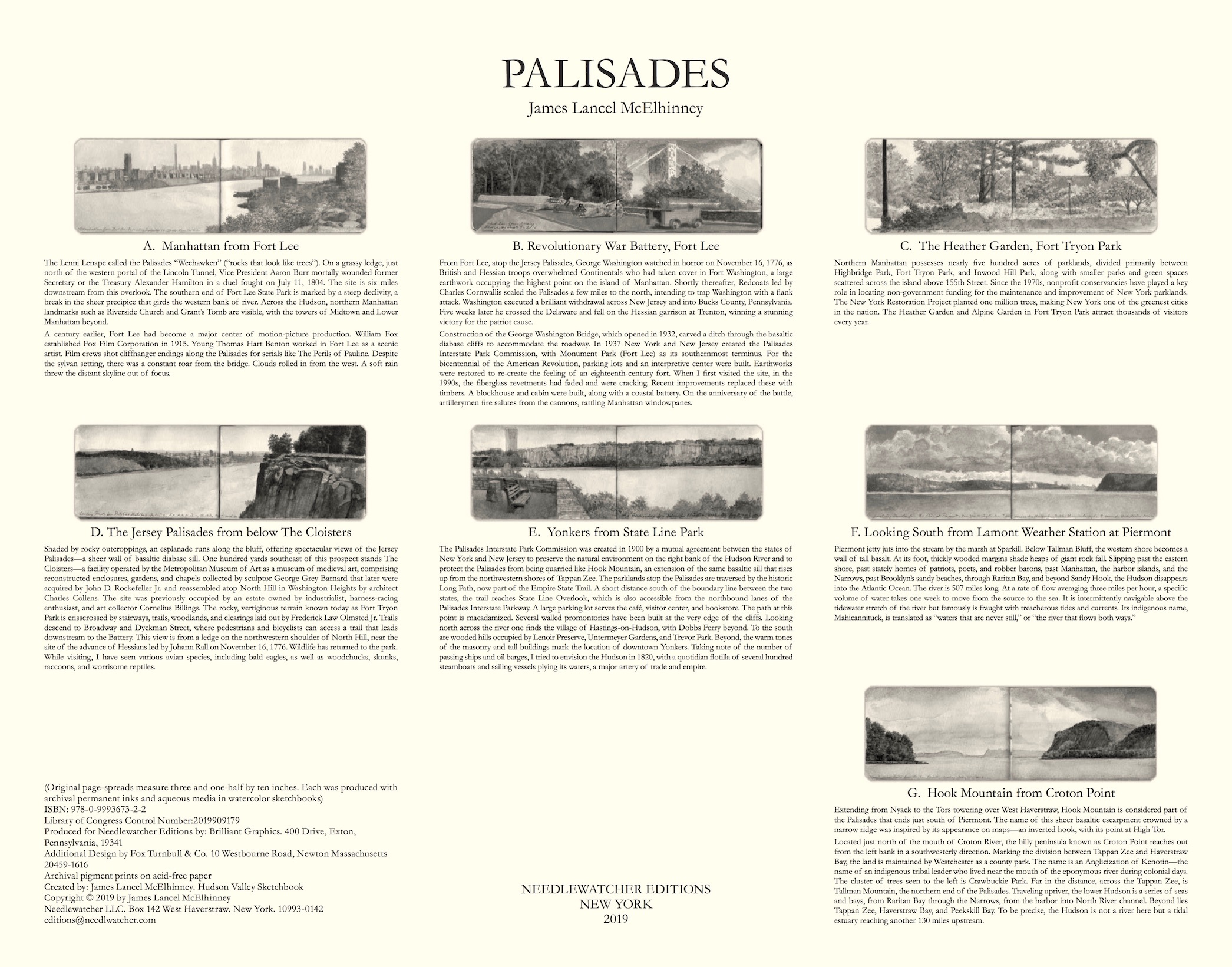 Colophon and Index
For more information send an email to
ed******@ne***********.com