April 2, 2024. Arrangements has been made for me to work with master printer Cindi Royce Ettinger from Wednesday April 3, through Friday April 5, 2024. When heavy rains and flooding were predicted to hit the New York Metro area, I decided to drive from the Adirondacks to Philadelphia via a more westerly route serving less traffic. From the Champlain Valley, my eroute took me south around Albany, then west on Interstate Highway 90, then southwest at Schenectady on I-88. At Central Bridge I decided to continue southward on state highway 30 through Schoharie and Middleburgh. The two-lane blacktop follows Schoharie Creek to the headwaters of the Delaware River, just west of Grand Gorge. Highway 30 then follows the east branch of the river southward through Roxbury—the hometown of a most unlikely duo—notorious Gilded Age robber-baron Jay Gould, and inspirational writer-naturalist John Burroughs. This was the same route that during the Revolutionary War had been followed by John Butler and Mohawk war-chief Thayendanegea (Joseph Brant) as loyalist forces sowed death and destruction across the Leatherstocking frontier of New York and Pennsylvania.
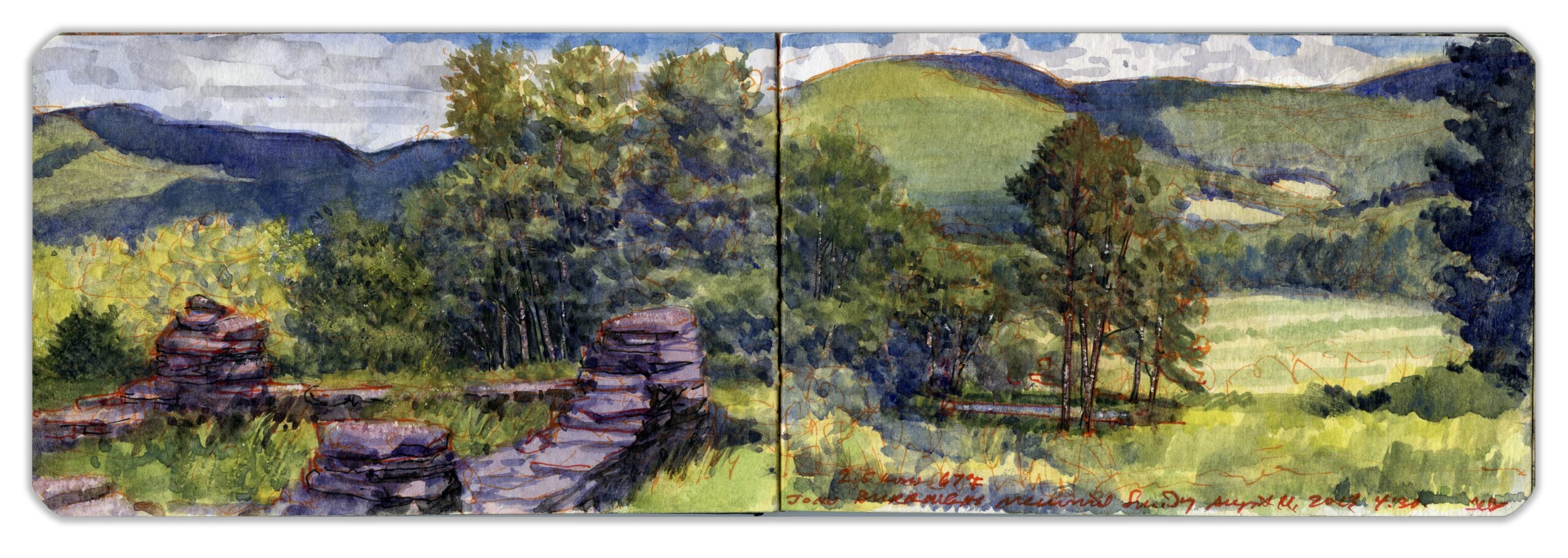
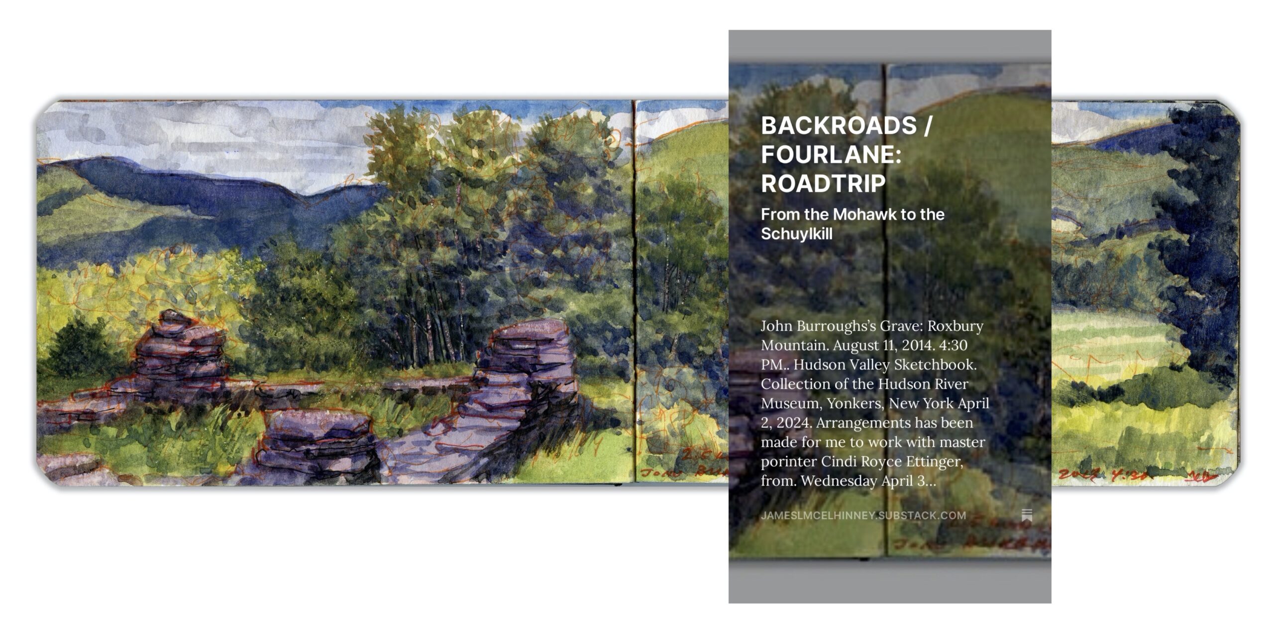
John Burroughs’s Grave: Roxbury Mountain. August 11, 2014. 4:30 PM.. Hudson Valley Sketchbook. Collection of the Hudson River Museum, Yonkers, New York
A dozen miles downstream at Margaretville the river suddenly widens. First settled in the early 18th-century, the bustling village was named for a niece of Hudson Valley patroon Robert Livingston. In 1779, independence-minded settlers were driven off their land by Butler and Brandt, only to return at war’s end four years later. Sawmills and tanneries were established along the river’s banks, which by the mid-19th century supported a collection of hamlets with names like Shavertown and Arena, that in 1954 were inundated by the completion of the Pepacton Reservoir, which bears the name of yet another drowned village. Driving along the winding road through a dense forest above its southern shore, brown-and-yellow Catskill Park signage marks the former sites of submerged settlements. With a capacity of more than four hundred thousand square meters in volume, or roughly 114 million gallons, this artificial lake is the single largest source of drinking-water for New York City. From its outflow at Downsville dam, the Delaware bends southward to its confluence with the Beaverkill River at East Branch; a whistlestop hamlet a dozen miles upstream from Hancock. Rising in the southern Catskill highlands on the edge of the former Borscht Belt, the swift-running river has long been a magnet for fly-fishing purists angling for trout.
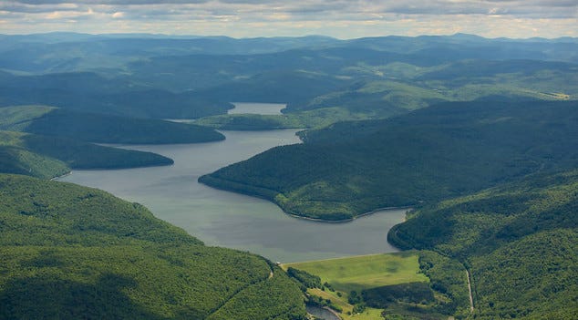
Pepacton Reservoir. Downsville, NY. New York City Department of Environmental Protection. Commenced operations in 1954. 25% of the city’s drinking water comes from this lake