
Mount Mansfield from the north beach at Ausable Point. Journal Painting. Aqueous media on paper. 3.5 x 10.5 inches. 2022
Believed by some to be the illegitimate son of “Le Vert Galante” King Henri IV, the peripatetic Samuel de Champlain explored the Atlantic coast of North America, before ascending the Saint Lawrence to establish the dominion of New France. At the base of a rocky promontory, Champlain established his base of operations at “Keh-beck”, meaning “narrows” in the local Abenaki dialect.

While it has become fashionable today to regard the practice of assigning place-names as exertions of personal vanity and colonial oppression, it had a far more practical raison d’etre, as a necessary means of identifying specific features of terrain. The coast of Maine and its rivers today mostly bear indigenous names, such as Androscoggin; “cliff-shelters river”, Damariscotta “many alewives”, Kennebec; “bay”, Kennebunk “long cut bank”, Penobscot “white-rocks people”, Ogunquit; “beautiful seaside”, Schoodic; “point of land”, and Wiscasset; “hidden harbor”. Sailing down east, explorers would have learned these traditional place-names from interacting with the natives. In many instances, when indigenous place-names were unknown, the cartographer would provide one of his own, in his native language. Having charted much of the Atlantic seaboard from Nantucket to Gaspee, Champlain bowed to ignorance and necessity by labeling some locations en le Français, such as Ile au Haut; “lofty island”, or Ile Mont-Desert; “island of deserted mountains”.

Lake Champlain from Ausable Point. Journal Painting. Aqueous media on paper. 3.5 x 10.5 inches. 2022
In 1609, Champlain ascended the Richelieu River to an inland sea known to his Abenaki allies as Pe-ton-bowk; “the waters between”; as it was recognized as the natural boundary between them and their Mohawk foes to the west. As de–facto ruler of New France, and a key player in the booming fur trade, Champlain had by 1609 evolved from the youthful explorer into a determined imperialist. Unabashed about assigning his name to the body of water upon which he ascended, Champlain and his Abenaki, Huron and Mi’qmak allies sought to drive the Kanienʼkehá꞉ka “Mohawk” out of the eastern Adirondack region. The goal was to gain control of key carrying-places; short overland links to Lake George and the Hudson Valley beyond. Paddling south, past clusters of islands, the flotilla of war-canoes entered a broad expanse of water. Mountains rose up from the western shore. A long ridge of low peaks stood off to the east, back from the water’s edge. Jutting out from the right bank was the wooded sandy delta of a river known to his companions as Nágwiadzóak; “underground stream’, to which Champlain gave the name Au Sable; “in the sand”.

The expedition was a success. On July 30, 1609, during the tense opening moments of an encounter with Mohawk warriors, Champlain stepped forward with an arquebus, loaded with buckshot. When the white smoke had cleared from its thundering discharge, two chiefs lay dead, with a third gravely wounded. Fighting alongside their British allies a century and a half later, Mohawks helped to expel the French from the Champlain Valley forever.

Looking downriver above Anderson Falls, Keeseville, New York. In August of 1858, Ralph Waldo Emerson, Louis Agassiz, James Russell Lowell, Judge Hoar, and other members of Boston’s elite Saturday Club passed through Keeseville, en route to Follensbee Pond via Saranac Lake. The nail factory they visited survives, and is visible to the left of the great keystone arch bridge, built in 1843. The town straddles two counties: Essex and Clinton. It is also home to ADKAction, which was formed to address “. . . unmet needs, promote vibrant communities, and preserve the natural beauty of the Adirondacks for all”. with offices located in the same historic building, Adirondack Architectural Heritage promotes better understanding, appreciation & stewardship of the Adirondacks’ unique and diverse architectural heritage.
Located midway between Corlaer Bay and Valcour Island, the Ausable River mingles its waters with Lake Champlain. After tumbling over the falls at Keeseville, the river plunges over Rainbow Falls into Ausable Chasm; a narrow, vertiginous canyon hewn by rushing waters, which has awed millions of tourists since 1870. From here the river runs through a series of breaks, in several streams divided by steep, rocky buttes. Upon reaching the floodplain, the Ausable winds gently to the northeast. At its confluence with Southwick Creek, the river passes between a cluster of small islands before veering eastward through looping meanders, flanked by marshland, before spilling into the lake. Thousands of years ago, a rocky ledge blocked its northward passage, forcing the Ausable to seek an outlet located several miles to the south, at Wickham Marsh just north of Port Kent. Skirting the northern edge of the blocking ledge, Dry Mill Brook fed into Lake Champlain just below the present site of Ausable Point. When meandering arms of the river and brook finally merged, the river took the shorter route, leaving a dry channel where once it had flowed. Its former course is still visible in satellite photographs.

On the northern side of its outflow lies the sandy point that now bears the river’s name. Formerly an island, Ausable Point is today connected to the mainland by a roadway crossing the Little Ausable River, then proceeding over an earthen causeway to the gatehouse of a state park. Maintained for day-use and overnight camping at tent sites along a looping unpaved road, that winds back through the woods to the edge of Dead Creek Marsh. Along the north shore of the point is a long, sandy beach. Its sand particles display a ruddy hue; effluvia from iron deposits located further upriver. A small area is roped off for swimming. The beach is seldom crowded. Traversing the delta of the eponymous river, Ausable Wildlife Management Area provides a refuge for a wide variety of waterfowl, songbirds, raptors, reptiles and mammals. Avid birders are drawn to the mouth of the Ausable River, to observe the diverse resident and migratory species that frequent the Champlain Valley.

Looking north toward Valcour Island, from the eastern end of the causeway. The Point of view is indicated on the map below

In their bellicose ascent of the lake in 1609, its colonialist namesake and his indigenous companions would have deceived themselves by imagining that they were unique in their understanding of geography, and the significance of “The Great Warpath”; a series of waterways that linked the Saint Lawrence Valley with the mouth of the Hudson River, four hundred miles to the south. Pintail Ducks, Snow Geese, Tennessee Warblers, and dozens of other avian travelers had been following the same route for millions of years.

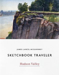
(CURRENTLY AVAILABLE:SKETCHBOOK TRAVELER by James L. McElhinney (c) 2020. Schiffer Publishing).
COMING SOON: Release date: September 27, 2022
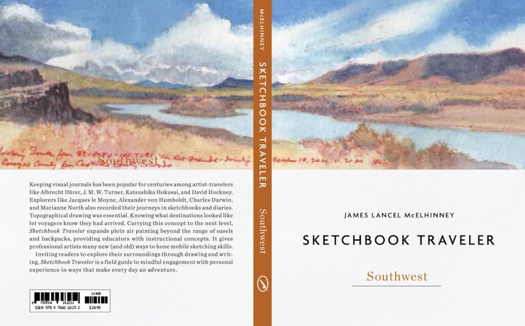
Sketchbook Traveler. Southwest was due to be released in May, but due to supply chain issues related to the Covid pandemic, the first edition (which has been printed overseas) is due to arrive in late summer. Following up on the success of Sketchbook Traveler: Hudson Valley, volume 2 in this trilogy explores the American Southwest from New Mexico to the Mojave Desert in journal-paintings and field notes by the author. Conceived as a backpacker’s field-guide and coffee-table art book, this compact volume includes lessons in print; a “why-to” guide to augmenting ubiquitous photographic devices. Blank pages scattered with inspirational quotes are provided for keeping one’s own traveler’s sketchbook. Pre-order here: LINK
Also:
Order your copy of the book here: LINK
![]()
For information about Needlewatcher Editions, write to editions@needlewatcher.com
Needlewatcher Editions. PO Box 233. Essex, New York. 12936-0233. (347) 266-5652