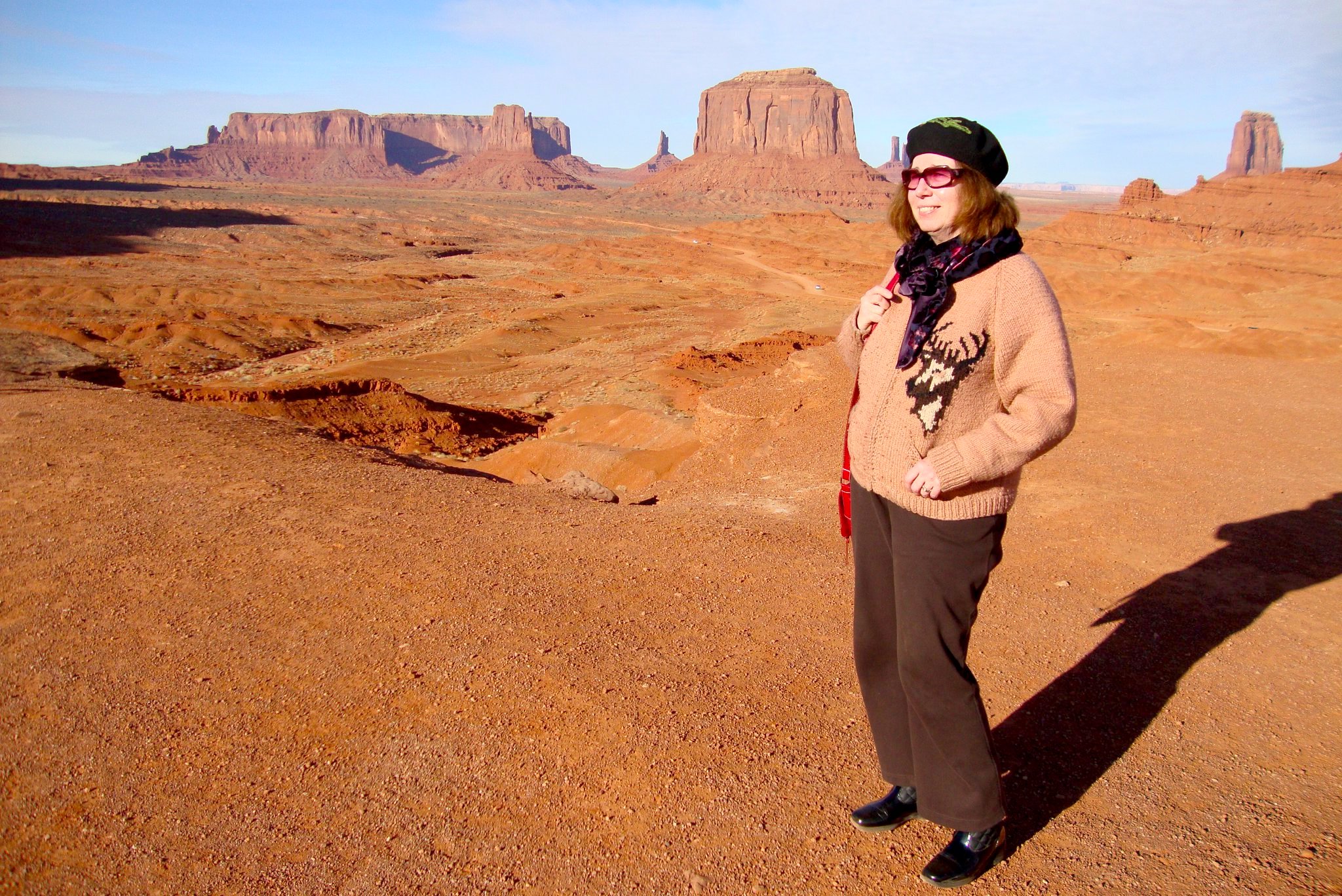
Boots-on-the-ground cultural historian Kathie Manthorne, at John Ford’s Point. Monument Valley. Navaho Nation.
Rising early, we headed out of Durango on Highway 160. In the darkness, starlight glowed softly on patches of snow in the wooded hills to the south. A cluster of peaks to the north broke the horizon with a ghostly geometry. For a thousand years this had been a hotly contested borderland between the domains of the Ute and Dine. Later a remote corner of New Spain, it had been known for centuries past to only a handful of European trappers, traders and prospectors. Past Mancos the land opened up. Tablelands to the south are scored with more than a dozen long canyons, draining south into the Rio Manco, which drains into the San Juan River near Four Corners. Mesa Verde National Park preserves the remains of ancient dwellings, inhabited by a community of Native Americans. Romanticized as a lost race known as Anasazi, these people are accepted by modern-day Puebloans as their ancestors. Past Cortez the land dropped away to the south as darkness surrendered to the half-light heralding dawn. In the distance, the rosy first light of day painted the crown of Ship Rock, a towering geological formation rising up along the Rio San Juan. Below Towaoc the highway turns to the southwest, past Four Corners. To our amazement, the little park was open, despite heavy accumulations of snow. Vendors were setting up for the day. I bought a piece of fry-bread for the road, which we devoured on the way to Tec Nos Pos (T’iisnazbas, or “Cottonwoods in a circle”) a tiny settlement around a trading-post. To the south arose a landmark elevation noted on the map as Pastoral Peak. We were in the Navaho Nation. Heading west, the road crossed a series of frozen creeks and dry washes. Between low table-lands to the north and south we crossed terrain that would seem familiar to fans of western movies and Road Runner cartoons. Reaching Kayenta, known locally as “K-town” we grabbed a quick breakfast before heading north on Highway 163. One could easily see why the irascible John Ford would go for Harry Goulding’s pitch to use this section of the Colorado Plateau as a filming location. Apart from the gobsmacking scenery, Goulding’s trading-post offered all the amenities required by director, cast and crew; far from meddlesome Hollywood executives and investors.
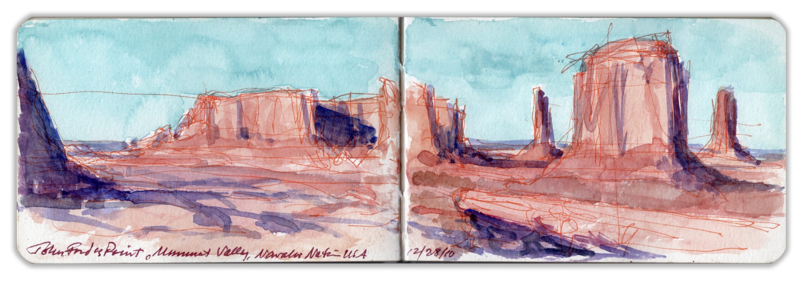
John Ford’s Point, Monument Valley
Checking into Goulding’s Lodge just before nine o’clock, we dumped our bags. Our room was located at the far end of a modern addition on the same level as the restaurant. The celebrity rooms had all been taken, as had most of the accommodation at The View, a newly-built resort and hotel inside the tribal park. We hired a local guide—a diffident fellow, mid-sixties, wearing weathered denim and a fur-felt cowboy hat. Driving a high-clearance white Jeep with giant tires and roll-bar, we passed The View. Our guide explained that a couple of Anglos had raised the capital. Married to local girls, they got a pass on tribal zoning restrictions. I never fact-checked his story. It was a reminder that while tourism dollars were welcome, outsiders were another matter. A popular destination within the park is a narrow rocky outcropping known as John Ford Point—named for the director of classic westerns like Stagecoach, and The Searchers. Visitors park in a pull-off, then walk down a short trail. Reaching the feature, one runs a gauntlet of local artisans peddling native jewelry and other keepsakes. For a fee one can get onto a horse, which is walked out onto the rocky diving-board. Pictures are taken, just like in the movies. I shot a photo of Kathie, sin caballo. Amidst the ruckus I produced a hasty sketch, elaborating it later back in our hotel-room. Before dawn I discovered our car covered in snow, which continued to fall.
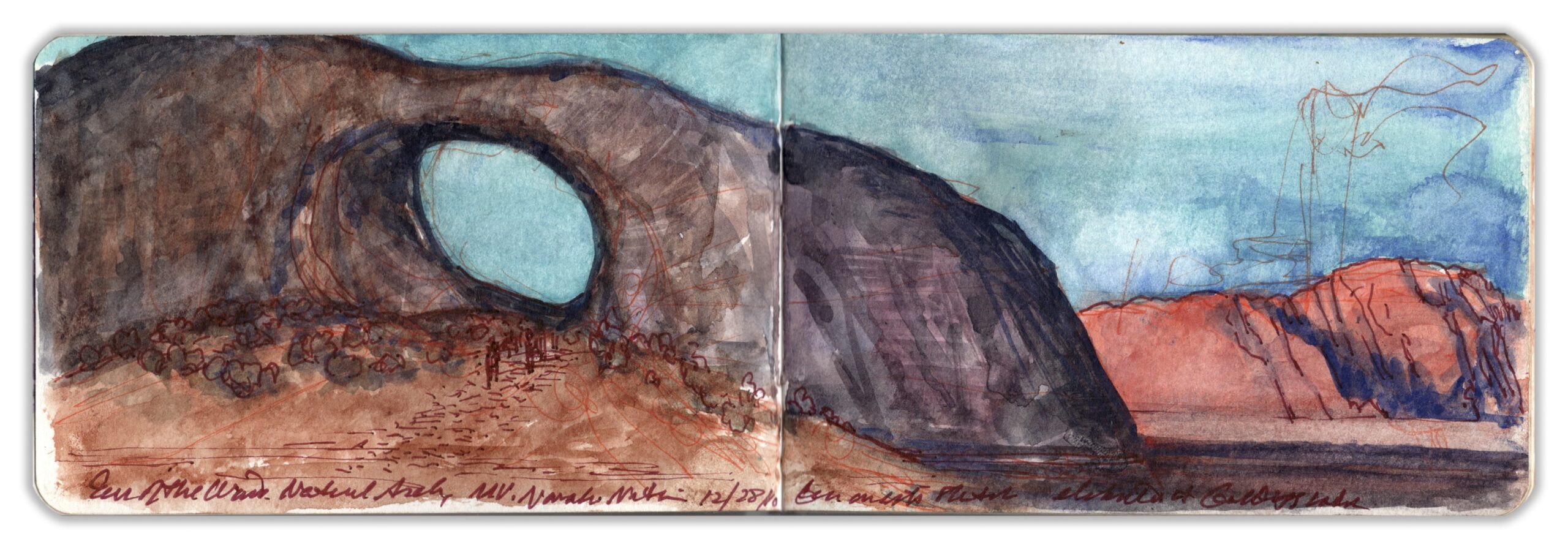
Ear of the Wind. Monument Valley
Like many geological features within Monument Valley Tribal Park, Ear of the Wind seems to have been concocted by the same kind of marketing magic that transformed Marion Morrison into John Wayne. The large circular aperture in a large outcropping of de Chelly sandstone was formed by the process of chemical exfoliation. Entering the rock, water dissolves the small particles that act as a binder. Loosening larger grains in the sandstone accelerates the natural process of erosion. Moisture gathered in rocky niches, which are enlarged by persistent winds that carry away the exfoliated particles. In igneous dikes and other geological formations with high aspect ratios, openings can appear which in time become stone arches. Ear of the Wind is accessible only to visitors accompanied by a licensed Navaho guide. Parking the Jeep, our guide led us to the edge of a conical mine-tailing of gravel and rocky debris—remnants of the sandstone mass formerly occupying that space where now abides a gaping pothole arch. Its height I estimated to be three or four stories above the valley floor. We decided to linger a while for lunch, which gave me some time to map out a composition and lay down some color-notes. Never very talkative, our guide was more like an off-road car service driver. He next delivered us to the Eye of the Sun—another pothole aperture atop a petrified bandshell, which in the failing light was evocative of the installation-art of James Terrell
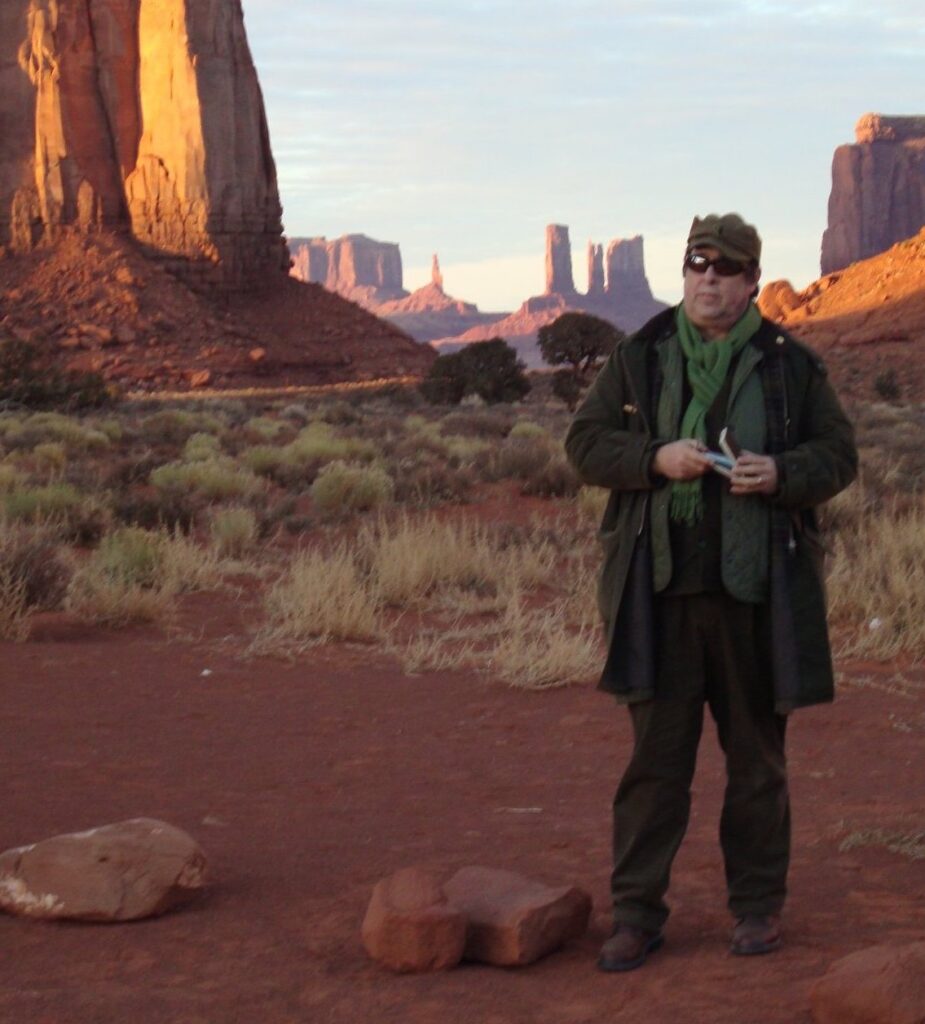
At Monument Valley. Tuesday December 28, 2010.
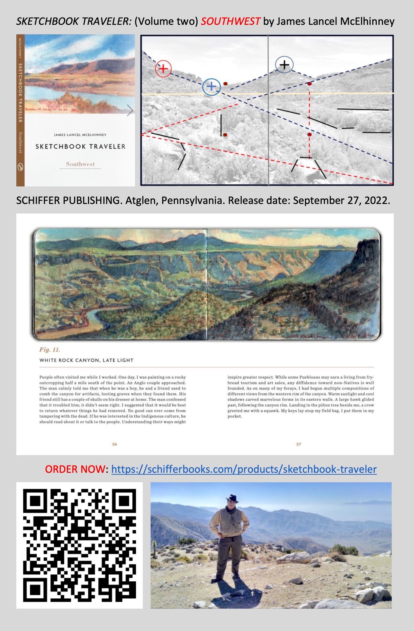
Now available: SKETCHBOOK TRAVELER; SOUTHWEST. Schiffer Publishing, Atglen PA
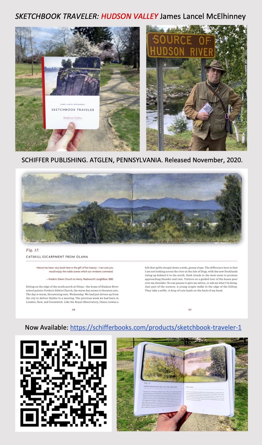
Now available to own: Sketchbook Traveler: Hudson Valley
Explore my Quaranteam Dispatches, from April 1-June 8, 2020