Stage Rocks, Gloucester Harbor. Massachusetts. Thursday April 12, 2012
Separated from the mainland by a tidal estuary, the Annisquam River, Cape Ann had long been a summertime home to the Pawtucket tribe, who along the shoreline southwest of modern-day Gloucester had built stages for drying and salting codfish. Standing beside this pre-colonial fish-packing operation stands a cluster of enormous rocks. Half a billion years ago the subduction of tectonic plates released plumes of magma. Rising to the surface, these cooled into granite, forming the bedrock of a micro-climate known to geologists as Avalonia. Scouring by glaciation from the late Cenozoic through the Paleolithic exposed dramatic granite formations at Stage Rocks, Dogtown and Cape Ann’s Atlantic shoreline. The resemblance of Stage Rocks to stony outcroppings at Joshua Tree can be attributed to their creation by similar geological processes.

Stage Rock, Gloucester Harbor. Massachusetts. Wednesday April 11, 2012
Expanding British colonial operations to the northern end of Massachusetts Bay, settlers from Plymouth arrived in 1623. Finding tillable soil inadequate to support much agriculture, they focused their efforts on harvesting the abundant Cod. At first working side-by-side with the newcomers, hostilities between the English and other tribes drove the Pawtucket into exile, or enslavement by British masters. Stage Head projects into the harbor like a natural fortress. During the Pequot War (1636-1638), the position was fortified to guard the harbor, and dispute attacks from the mainland. Updated over the years the fort remained in service until 1898. The Civil War battery was reconstructed in 1930 and is now preserved within a city park that includes ball fields and bathing areas.

Stage Fort. Gloucester Harbor. Massachusetts. Tuesday, April 10, 2012
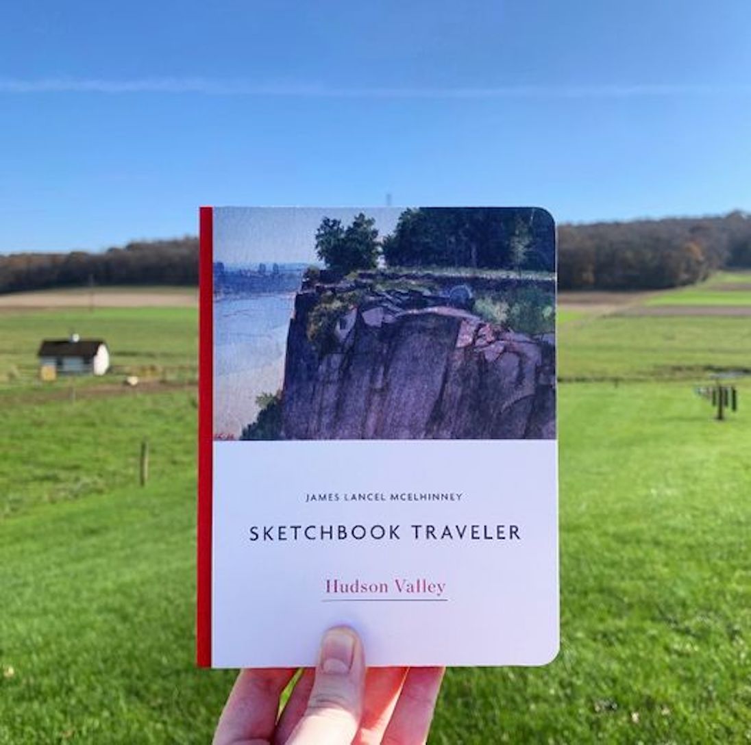
Now available to own: Sketchbook Traveler: Hudson Valley
Explore my Quaranteam Dispatches, from April 1-June 8, 2020