Waiting for the crisis to pass, our thoughts go out to friends and loved-ones who also shelter in place. Old friends pass away, people we loved and admired. Immobilized for the time being, we can revisit destinations, near and far. join me in celebrating the joys of Quaranteam travel, the hope that these diversions might inspire us to value things we had taken for granted, to draw strength, wisdom and compassion from deeper engagements with nature.

Hook Mountain and Tappan Zee from Croton Point. July 16, 2016
(Image and text were featured in the exhibition James McElhinney. Discover the Hudson Anew, curated by Laura Vookles. Hudson River Museum. Yonkers, New York. September 13, 2019 to February 16, 2020. Published also as a limited-edition in Hudson Highlands. North River Suite Volume One. Needlewatcher Editions. New York. 2018)
Extending from Nyack to the Tors towering over West Haverstraw, Hook Mountain is considered a northern extension of The Palisades, despite its separation from the geological formation just south of Piermont. A sheer basaltic escarpment, crowned by a narrow ridge, its name was inspired by its appearance on maps—as an inverted hook, with its point at High Tor.
Formed by silt deposits on the north side of the mouth of Croton River, the hilly peninsula known as Croton Point reaches into the Hudson in a southwesterly direction. Marking the division between Tappan Zee and Haverstraw Bay, the land today is maintained by Westchester County as a public park. The name is not botanical, as some may suspect. It is an Anglicization of Kenotin—the name of an Muh-he-ko-neok tribal leader who lived in colonial times near the mouth of the eponymous river. The cluster of trees to the left is Crawbuckie Park. Visible in the distance, across the Tappan Zee, is a bluff occupied by Tallman Mountain State Park, the north end of the southern palisades. Traveling upriver, one finds the lower Hudson is a concatenation of seas and bays, from The Narrows and New York harbor past the Palisades along the North River channel, to Tappan Zee, Haverstraw Bay and Peekskill Bay. It is in fact a tidal estuary for another hundred and thirty miles upstream.
April QT Posts have been archived online.
Revisit them day-by-day. Click here

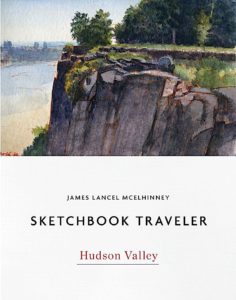
(A preview of SKETCHBOOK TRAVELER by James L. McElhinney (c) 2020. Schiffer Publishing).
Copyright James Lancel McElhinney (c) 2020 Texts and images may be reproduced (with proper citation) by permission of the author. To enquire, send a request to editions@needlewatcher.com