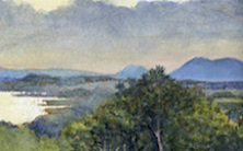
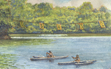
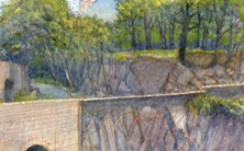
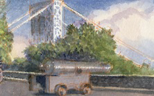
All posts by James L. Mcelhinney

June 3, 2020. QT Dispatch #64. On Top of Mount Greylock

As we continue under lockdown, and in New York City under a nightly curfew, join me in celebrating the joys of Quaranteam travel
The hope is that these dispatches might inspire us to value things we had taken for granted, to draw strength, wisdom and compassion from deeper engagements with nature, whenever we can resume our hikes, treks and voyages.
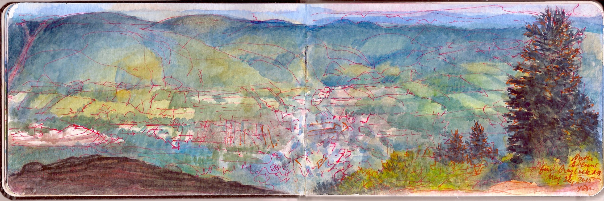

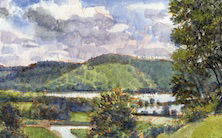
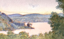
Adams Massachusetts from the Summit of Mount Greylock. Tuesday May 26, 2015.

“Or is it, that as in essence whiteness is not so much a color as the visible absence of color; and at the same time the concrete of all colors; is it for these reasons that there is such a dumb blankness, full of meaning, in a wide landscape of snows- a colorless, all-color of atheism from which we shrink? And when we consider that other theory of the natural philosophers, that all other earthly hues- every stately or lovely emblazoning- the sweet tinges of sunset skies and woods; yea, and the gilded velvets of butterflies, and the butterfly cheeks of young girls; all these are but subtile deceits, not actually inherent in substances, but only laid on from without; so that all deified Nature absolutely paints like the harlot, whose allurements cover nothing but the charnel-house within; and when we proceed further, and consider that the mystical cosmetic which produces every one of her hues, the great principle of light, for ever remains white or colorless in itself, and if operating without medium upon matter, would touch all objects, even tulips and roses, with its own blank tinge- pondering all this, the palsied universe lies before us a leper; and like wilful travellers in Lapland, who refuse to wear colored and coloring glasses upon their eyes, so the wretched infidel gazes himself blind at the monumental white shroud that wraps all the prospect around him”
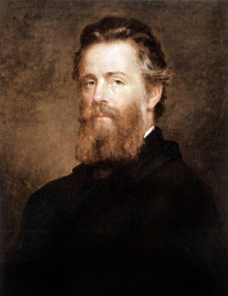

Portrait of Melville By Joseph Eaton. 1870
Getty Images (Reproduced under Fair Use, etc.)

Herman Melville (1819-1891) devoted an entire chapter of Moby Dick to the color white, which might resonate with us today, when people of color are being targeted by bigotry to suffer physical and mortal abuse. Having recently re-read the book, I had forgotten how much of it is meandering digression—a pre-Joyce stream of consciousness ranging from whaleboat mechanics to a field-guide to killing, butchering and rendering the wild leviathan. Spermaceti and ambergris; pale illumination ans seductive scents were the fruits of bloody slaughter.
The ship Pequod was a world turned upside down. Seldom present, under the spell of a mysterious west Asian, the monomaniacal captain may also be insane. Apart from his officers, the stars of the ship’s company are the harpooneers, people of color; a Pacific Islander, an African and a Gay Head Wampanoag. Ordinary Americans today may not imagine such diversity truly existed at that time. Yet a century or more before the novel is set, every seafaring tongue from around the globe was spoken on the waterfronts of New York and Nantucket.

Rising 3,489 feet above sea-level lies Mount Greylock, in the northern Berkshires. Viewed from his Pittsfield farmhouse, its snowy form resembling a whale is said to have inspired Melville. Nathaniel Hawthorne hiked its slopes. Other literary lights of the day such as William Cullen Bryant ascended its heights. Henry David Thoreau spent a night on the mountain in the summer of 1844. When he awoke, a cloud-bank rested on the summit.

“As the light increased
I discovered around me an ocean of mist,
which by chance reached up to exactly the base of the tower,
and shut out every vestige of the earth,
while I was left floating on this fragment
of the wreck of the world,
on my carved plank in cloudland;
a situation which required,
no aid from the imagination
to render it impressive.”

On more than one occasion I have found Mount Greylock buried in clouds. Large sheets of rock lie exposed at the summit, which has been cleared. The bell-shaped Veterans Memorial Tower stands on the highest point of ground. Its beacon marks the location at night. The northern end of the mountain faces Williamstown, North Adams, and the Mohawk Trail—Route 2, which runs between Troy, New York and Boston. Below to the east. the Hoosic River flows northward, entering the Hudson River near Stillwater, just above the falls. Mill-towns like Adams Massachusetts, birthplace of women’s rights activist Susan B. Anthony. As a center of light industry and textile manufacturing, the town flourished during the nineteenth-century. A century later it fell into decline and economic hardship. Today the town is enjoying a revival, as Berkshire County has become a popular destination for weekenders from New York and Boston.
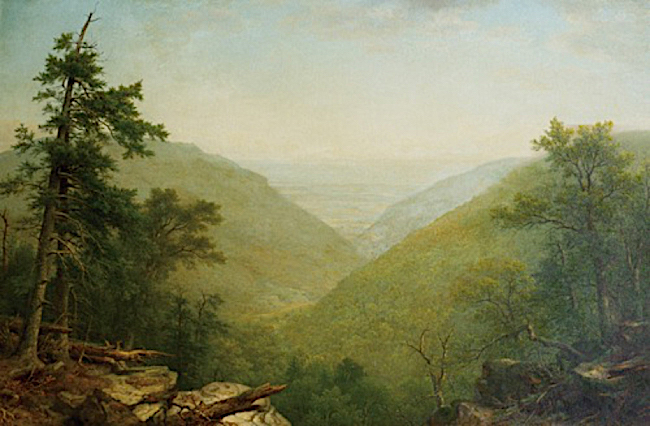

Asher B. Durand (1796-1886). Kaaterskill Clove. 1866. Yale University Art Gallery

Working at such an elevation (2,700 feet above the valley floor) presents one with an almost aerial perspective. My approach to drawing is sapient rather than mimetic. Drawing on my knowledge of mapmaking, I sought to privilege certain landmarks for purposes of measuring the space and correcting it to scale. The town presented a rational footprint. Just to the north a quarry or gravel-pit cut a pale slash through the verdant bottomlands. Just beyond, high-tension towers marched up the ridge, in a diagonal pathway hewn through rising woodlands. Organizing the foreground in these dramatic vistas is always a challenge. My first encounter with kind of picture-making was in 1979 at Grant’s Last View of the Valley on the shoulder of Mount McGregor in Wilton New York. Here I was reminded of Asher B, Durand’s painting of Kaaterskill Clove. Instead of following the Claudian convention of a low diagonal leading us into the space along the bottom of the frame, colliding with a cluster of trees framing the scene, Durand framed his view with two of these compositional devices mirroring one another, and then echoes it in the overlapping arcs of the hills stepping back into the distance. Locating a pair of rocky ledges on the right and an alpine pasture on the left, I punctuated the left edge of the frame with a scrubby-looking spruce.
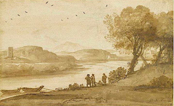

Claude Lorrain (1600-1682). A print from his Liber Veritatis. Claude Gelee, called “Le Lorrain” was a lowborn French expatriate who enjoyed a very successful career in Rome, which at the time was an international city, like New York, Singapore or London. Art-historians often classify him as “French” while neither he nor fellow Gallic expat Nicholas Poussin (1594-1665) had much use for a homeland where a hidebound caste-system would have hindered their advancement.
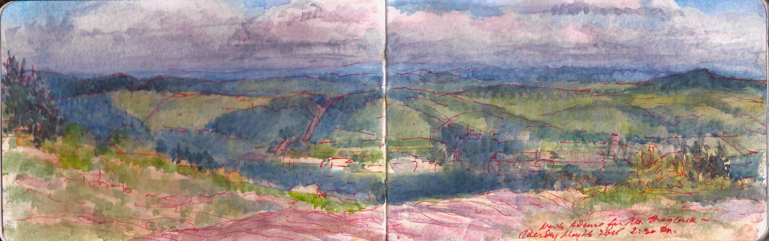

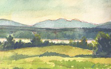
Looking East from Mount Greylock. Tuesday May 26, 2015.

Check out April 2020 Quaranteam Traveler Dispatches
(A preview of SKETCHBOOK TRAVELER by James L. McElhinney (c) 2020. Schiffer Publishing).
Copyright James Lancel McElhinney (c) 2020 Texts and images may be reproduced (with proper citation) by permission of the author. To enquire, send a request to

ed******@ne***********.com
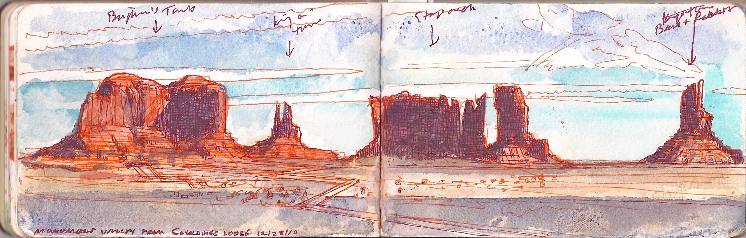


June 2, 2020. QT Dispatch #63. Tsé Biiʼ Ndzisgaii. December 28, 2010


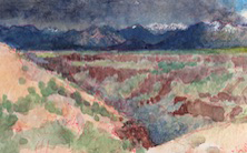
Tsé Biiʼ Ndzisgaii (Monument Valley, Navajo Nation) December 28, 2010.
The view is from Goulding’s Lodge, the guest-ranch and hotel film director John Ford used as his base-camp in filming many of his westerns. Famous for its spectacular chessboard of tall sandstone buttes, it became synonymous with the cinematic west. Left to right: Brigham’s Tomb, King-in-his-Throne, Stagecoach, and Bear-and-Rabbit. Needless to say the locals have other names for these formations.

Saturday December 25, 2010. We awoke in our motel in (Little) Manhattan Kansas, after having celebrated Christmas with Kathie’s brother Mark and his son Sean the night before. Mark had reported for duty on Christmas at Fort Riley too early for all of us to meet again for breakfast. As a top sergeant, the idea of being the highest-ranking fighting man on base seemed to amuse him. He honored the event by showing up for work in his dress blues. Sean was asleep when we called and preferred slumber to a hot breakfast at iHop, the only restaurant in town that was open.
As I walked up to the car rental desk at Kansas City airport, the attendant asked what flight we had booked. Looking it up, he calmly informed us that due to a blizzard, nothing was flying in or out of any of the New York City airports. I asked if he could find out how long it would be to get out of town. Placing another call, he informed us that it would be five or six days before we could get seats on another flight; maybe Thursday or Friday. He also informed us that a massive winter storm was brewing on the Pacific coast. There had been snowfall in Los Angeles.
I asked him what the price would be for us to keep the car, drive east and drop off at Newark, where our car was parked. Sticker shock made me call the hotel where we had stayed in the Country Club district, only to find was booked solid for the entire week, full up with travelers stranded in the Paris of the Plains. Kathie looked at me and asked
“How far is it from here to Monument Valley?”
Trying to compose a quick, coherent answer, calculating the distance, potential obstacles, delays and the challenges of getting back to KC in time to catch our return flight, I started walking for the door and replied. “No worries. Let’s go.”
The tale of our road-trip will be unpacked in future dispatches. Today I want to invite fellow travelers to devote your attention to the plight of the Diné and Hopi communities during the COVID19 pandemic. The Navajo Nation is the largest indigenous territory in the country. Its territory encompasses lands occupied by the Puebloan Hopi tribe. These culturally rich economically-challenged communities have been hard hit by the Corona virus, with soaring infection and mortality rates.
Non-Natives may feel no connection to these communities, and thus no obligation to help them. This land was theirs for thousands of years before earlier pandemics wiped out ninety-percent of their numbers after their first contact with Europeans. Look at it this way. We are their guests. They are our hosts, our neighbors and friends. As human beings, we are all of one family. Please help. Please contribute.

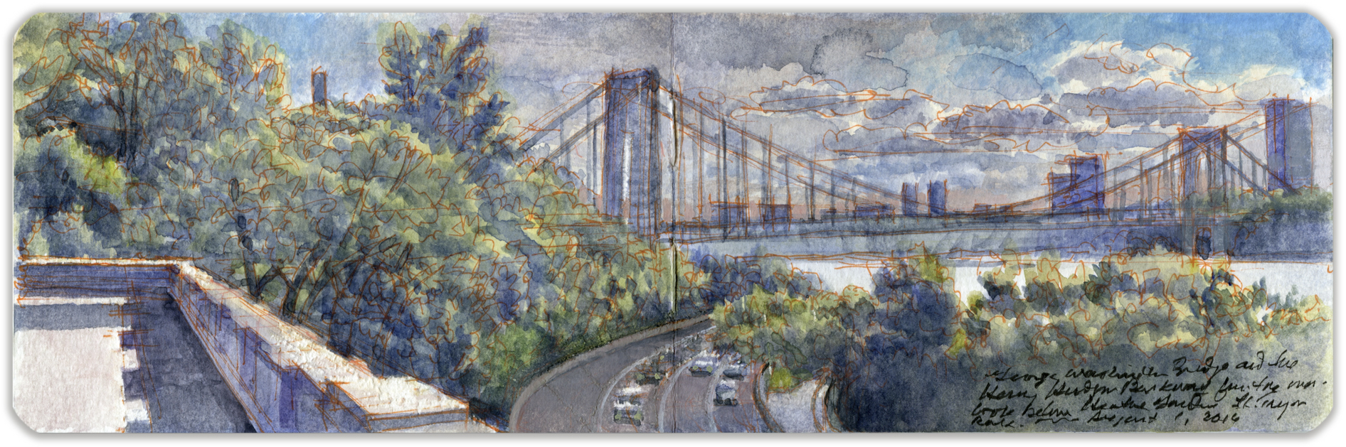
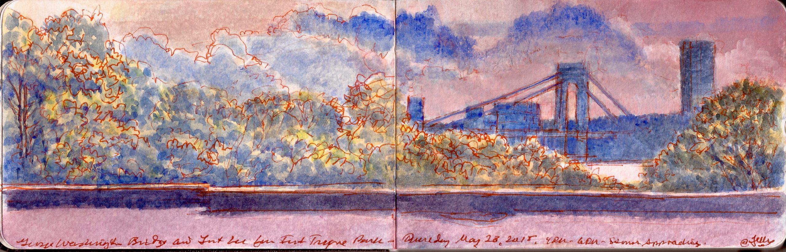
June 1, 2020. QT Dispatch #62. George Washington Bridge from Billings Terrace, Fort Tryon Park. Monday, August , 2016

Waiting for the crisis to pass, our thoughts go out to friends and loved-ones who also shelter in place. Old friends pass away, people we loved and admired. Immobilized for the time being, we can revisit destinations, near and far. join me in celebrating the joys of Quaranteam travel, the hope that these diversions might inspire us to value things we had taken for granted, to draw strength, wisdom and compassion from deeper engagements with nature.

. (Image and text were featured in the exhibition James McElhinney. Discover the Hudson Anew, curated by Laura Vookles. Hudson River Museum. Yonkers, New York. September 13, 2019 to February 16, 2020. Published also as a limited-edition in Hudson Highlands. North River Suite Volume One. Needlewatcher Editions. New York. 2018)


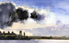
George Washington Bridge from Fort Tryon Park. Monday August 1, 2016

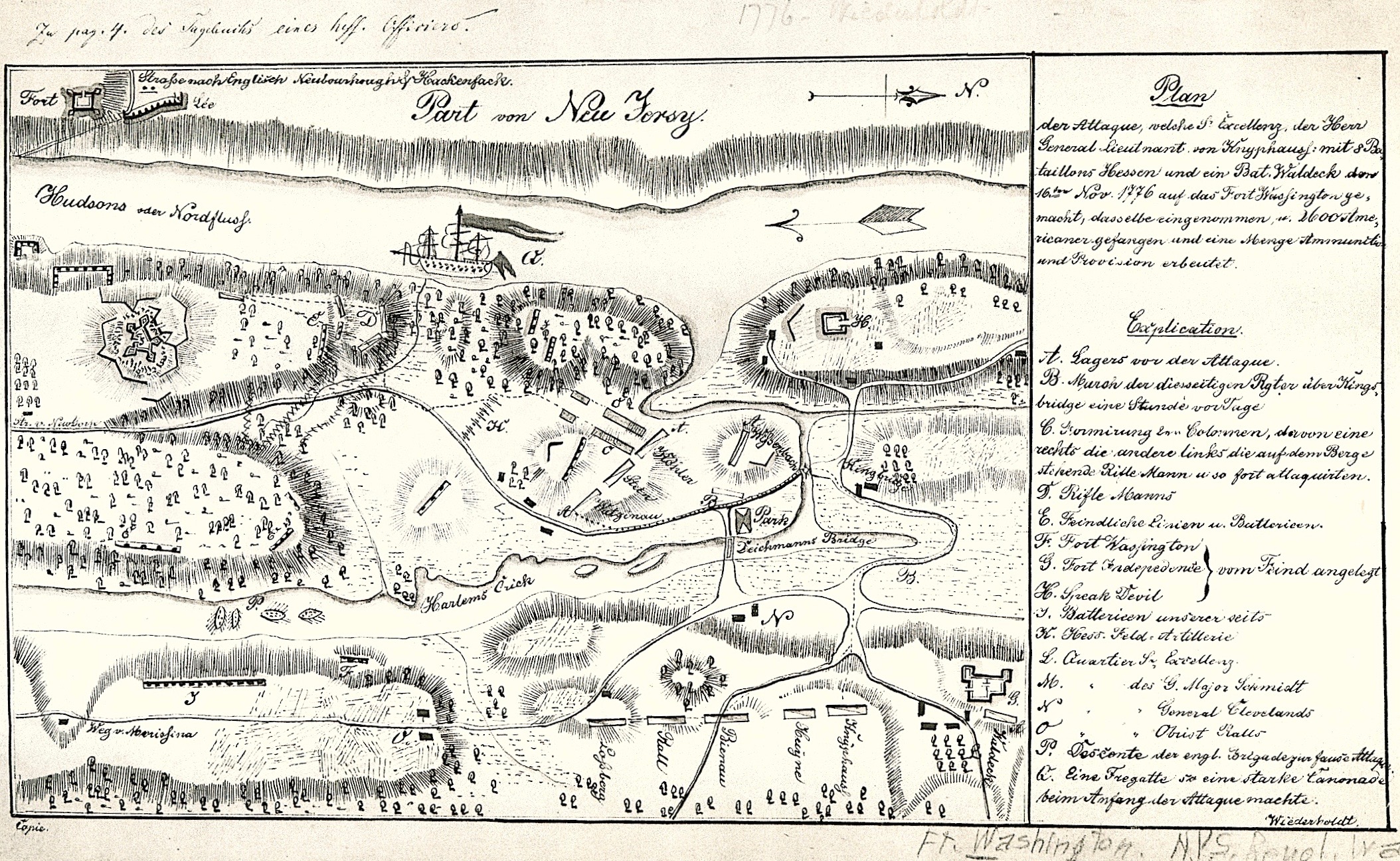
Construction of the George Washington Bridge, which opened in 1932, widened a notch in the basaltic diabase cliffs to accommodate the roadway. In 1937 New York and New Jersey created the Palisades Interstate Park Commission, with Monument Park (Fort Lee) as its southernmost terminus. Alternately identified in Revolutionary War documents as Fort Constitution, the fortified position was designed to operate in tandem with Fort Washington in Manhattan, to lay down fields of fire hindering the movement of British warships and transports. Lacking sufficient water-batteries, each position had been situated at too great an elevation for the plan to work. Stretching across the Hudson was a chevaux-de-frise of sunken ships and stout timbers designed to pierce the wooden hull of any ship that might run onto them. What remains of this obstacle lies directly below the deck of today’s bridge. Ascending the Harlem River on Saturday November 16, 1776, Hessian and British troops attacked Continental units defending three hills between Spuyten Duyvil Creek and Jeffrey’s hook. Across the river at Fort Lee, George Washington watched in horror as his positions were overrun.


Hessian Map of the Battle of Fort Washington. Saturday, November 16, 1776. New York Public Library. (Reproduced under Fair Use etc.)

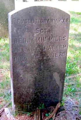
For the bicentennial of the American Revolution, parking lots and an interpretive center were built. Earthworks were restored to re-create the feeling of an eighteenth-century fort. When I first visited the site, in the 1990s, the fiberglass revetments had faded and were cracking. Recent improvements replaced these with timbers. A blockhouse and cabin were built, along with a coastal battery. On the anniversary of the battle, artillerymen fire salutes from the cannons, rattling Manhattan windowpane. Fact-checking another one of these posts I discovered that one of my fourth-great-grandfathers had been at Fort Lee/Constitution that fateful November day. On a return dated September 1776, Benjamin Mills’s (1738-1829) is listed as captain. One of the Connecticut minutemen who took up arms during the Lexington Alarm in 1775, Mills commanded a battalion at the Battle of Trenton. From what I can gather, rank in the Nutmegger militia was more a job-description than a mark of status. the fact that sergeant is inscribed on his tombstone suggests a low opinion of officers, despite having been one himself.

Looking southeast from a masonry terrace below Billings Lawn in Fort Tryon Park. Henry Hudson Parkway (Route 9A) runs along the western shore of Manhattan between the Bronx and the Battery. Crossing the George Washington Bridge, US Route 1 and Interstate 95 link Key West Florida to Kittery, Maine. Maritime traffic extends one-hundred-thirty miles up the Hudson River to the port of Albany. Beyond that barges and pleasure-craft navigate canals and waterways into the Great Lakes and Saint Lawrence River. What one might take as just a scenic urban vista is in fact a palimpsest of restless human mobility.


George Washington Bridge from Cloisters Lawn Terrace. Thursday May 28, 2015

Check out April 2020 Quaranteam Traveler Dispatches

(A preview of SKETCHBOOK TRAVELER by James L. McElhinney (c) 2020. Schiffer Publishing).

Copyright James Lancel McElhinney (c) 2020 Texts and images may be reproduced (with proper citation) by permission of the author. To enquire, send a request to

ed******@ne***********.com


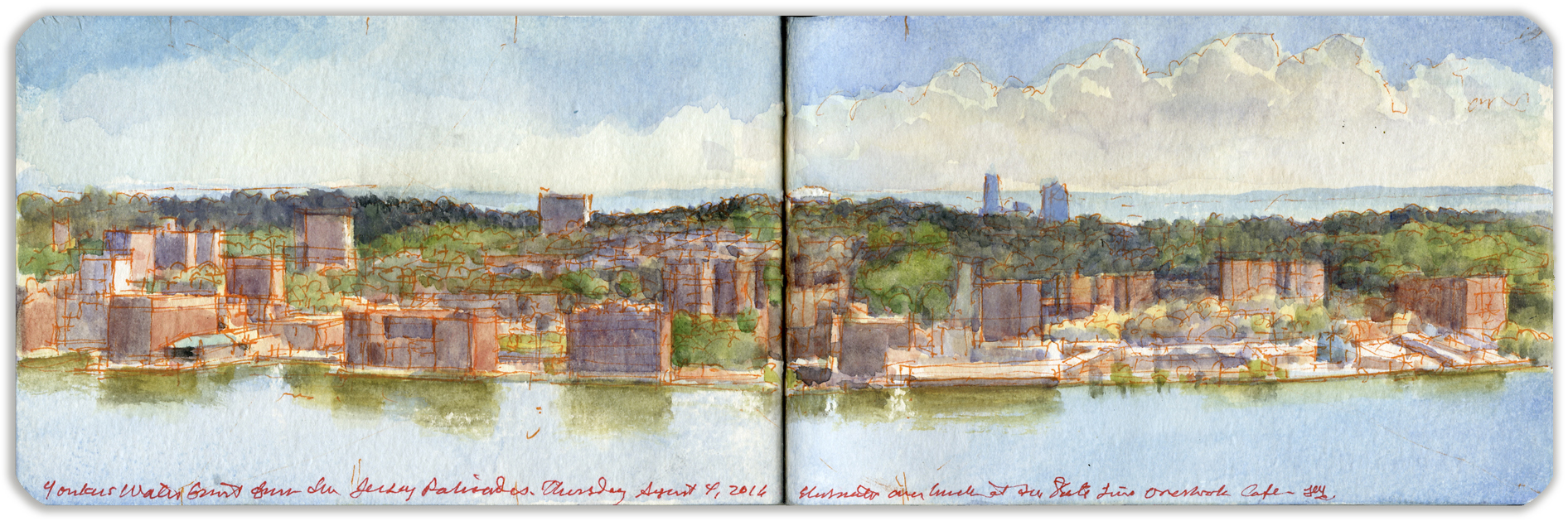
MAY 31, 2020. QT Dispatch #61. City of Yonkers from the Long Path. Thursday August 4, 2016.

Waiting for the crisis to pass, our thoughts go out to friends and loved-ones who also shelter in place. Old friends pass away, people we loved and admired. Immobilized for the time being, we can revisit destinations, near and far. join me in celebrating the joys of Quaranteam travel, the hope that these diversions might inspire us to value things we had taken for granted, to draw strength, wisdom and compassion from deeper engagements with nature.

. (Image and text were featured in the exhibition James McElhinney. Discover the Hudson Anew, curated by Laura Vookles. Hudson River Museum. Yonkers, New York. September 13, 2019 to February 16, 2020. Published also as a limited-edition in Hudson Highlands. North River Suite Volume One. Needlewatcher Editions. New York. 2018)


City of Yonkers from The Long Path. Thursday August 4, 2016

Stretching between the 175th Street bus station, located at the eastern end of the George Washington Bridge, the Long Path follows historic trails connecting the New Jersey Palisades with the northern Helderberg Mountains west of Albany. Part of the new seven-hundred-mile Empire State Trail system, at its southern end the Long Path follows the rim of the Palisades, in the wooded margins between the precipice and Palisades Interstate Parkway. Debouching here and there at scenic parking-areas along the motorway, the trail offers stunning vistas of the Bronx and Westchester County. Alpine scenic overlook lies directly across the river from downtown Yonkers. Established in 1645, a sawmill was built near the mouth of Nepperhan Creek, on land held by the Jonkheer (young lord) local patroon Adriaen van der Donck.
The village soon grew up around the mill’s river-landing, which came to be known as Jonkheers, or Yonkers. During the 19th century the town grew into an industrial center, producing goods from firearms to elevators, carpets and Bakelite. Access to both river and rail traffic, the small city prospered. The nation’s first golf-course opened in Yonkers. The decline of local industry and a rise in racial tension troubled Yonkers in the last century but the city is enjoying a renewal, with the redevelopment of the waterfront and other improvements. The Hudson River Museum and Planetarium is located in Trevor Park, in the Glenwood section of northern Yonkers. Seen from a grassy slope below the parking area, the bluffs of Long Island rim the horizon, past the towers of Coop City on the shores of Pelham Bay.

Check out April 2020 Quaranteam Traveler Dispatches
SKETCHBOOK TRAVELER by James L. McElhinney (c) 2020. Schiffer Publishing).

Copyright James Lancel McElhinney (c) 2020 Texts and images may be reproduced (with proper citation) by permission of the author. To enquire, send a request to

ed******@ne***********.com


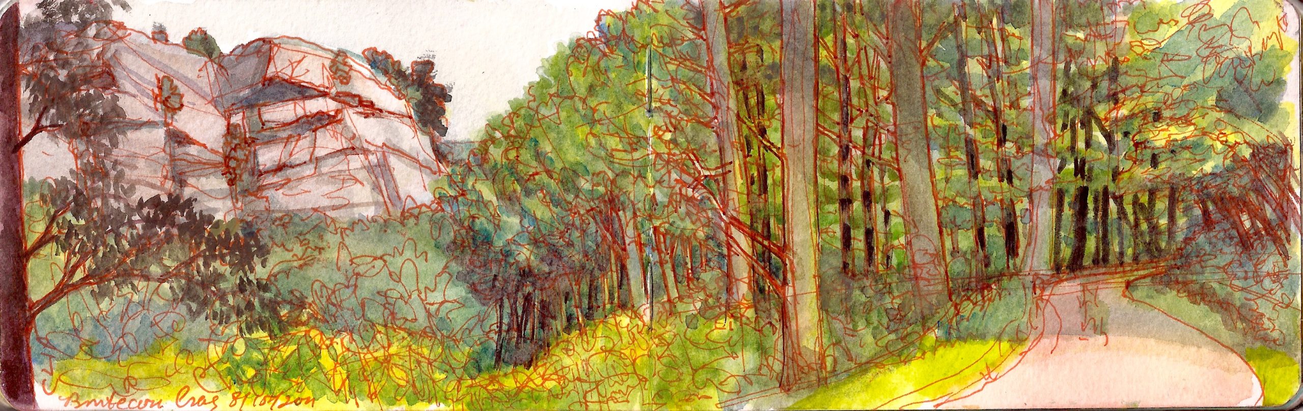
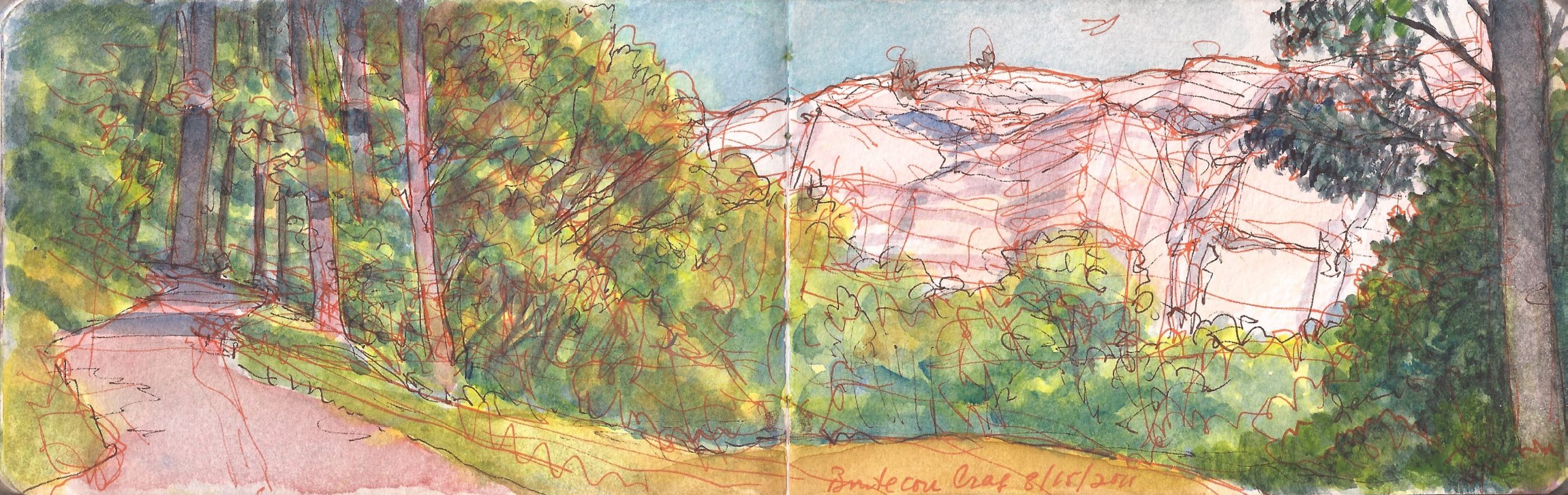
May 30, 2020. Bonticou Crag, Mohonk Preserve. High Falls, New York.Saturday August 13, 2011

Waiting for the crisis to pass, our thoughts go out to friends and loved-ones who also shelter in place. Old friends pass away, people we loved and admired. Immobilized for the time being, we can revisit destinations, near and far. join me in celebrating the joys of Quaranteam travel, the hope that these diversions might inspire us to value things we had taken for granted, to draw strength, wisdom and compassion from deeper engagements with nature.


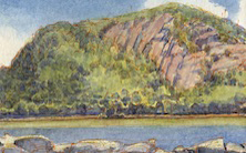
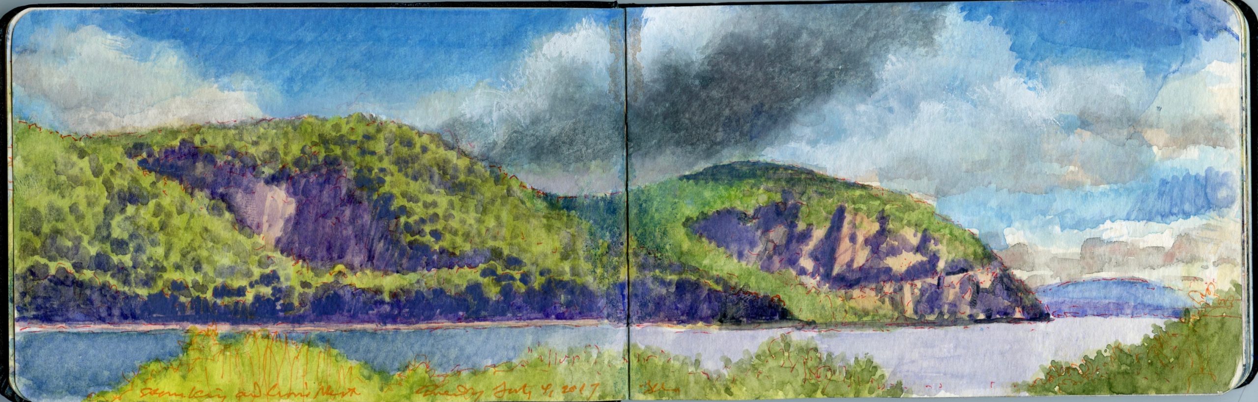
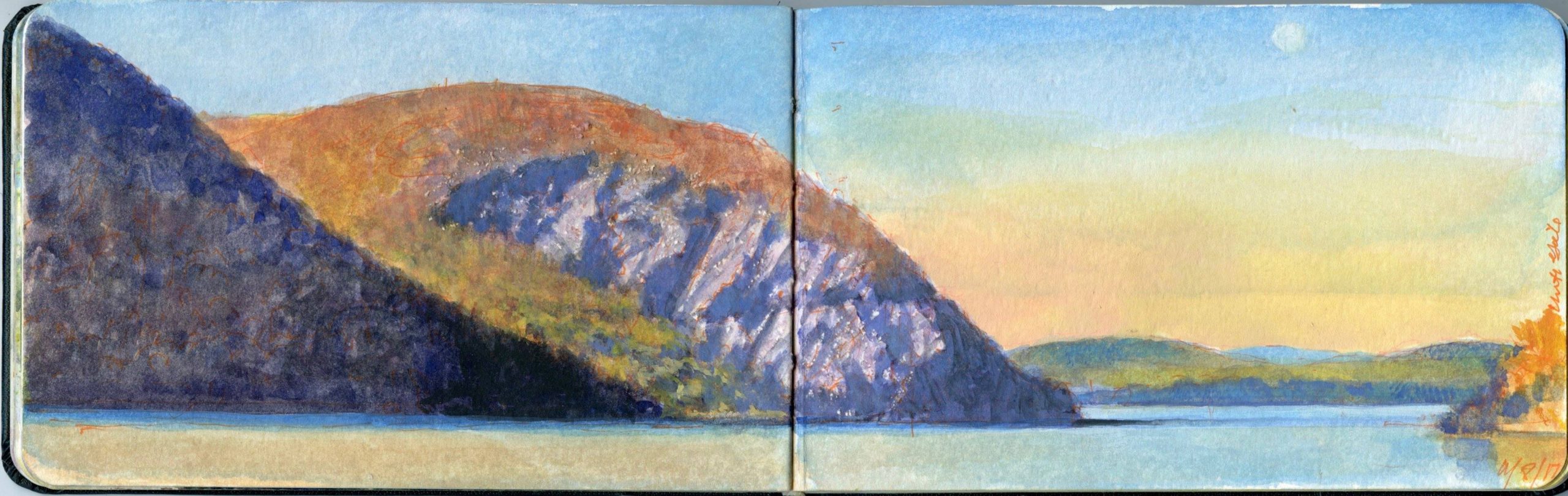
Bonticou Crag. Saturday August 13, 2011

Bonticou Crag is a massive outcropping of sedimentary Silurian limestone near the northern end of the Shawangunk Ridge, which from this point extends in a southwesterly direction into the Kittatinny Mountains of northern New Jersey. A popular destination for hikers, rock-climbers and mountaineers. Spring Farm Trailhead is found along Upper 27 Knolls Road, off a hairpin turn on the stretch of Mohonk Road between Mountain House and the village of High Falls. Another magnet for outdoor adventurers is Table Rocks, a deeply fissured limestone formation slightly north of Bonticou Crag. Geologically the site resembles Sunset Rock above the Kaaterskill (North-South) Lakes. All feature perilous drops and abundant opportunities for personal injury. Hikers are discouraged from bringing their dogs long for the trek.
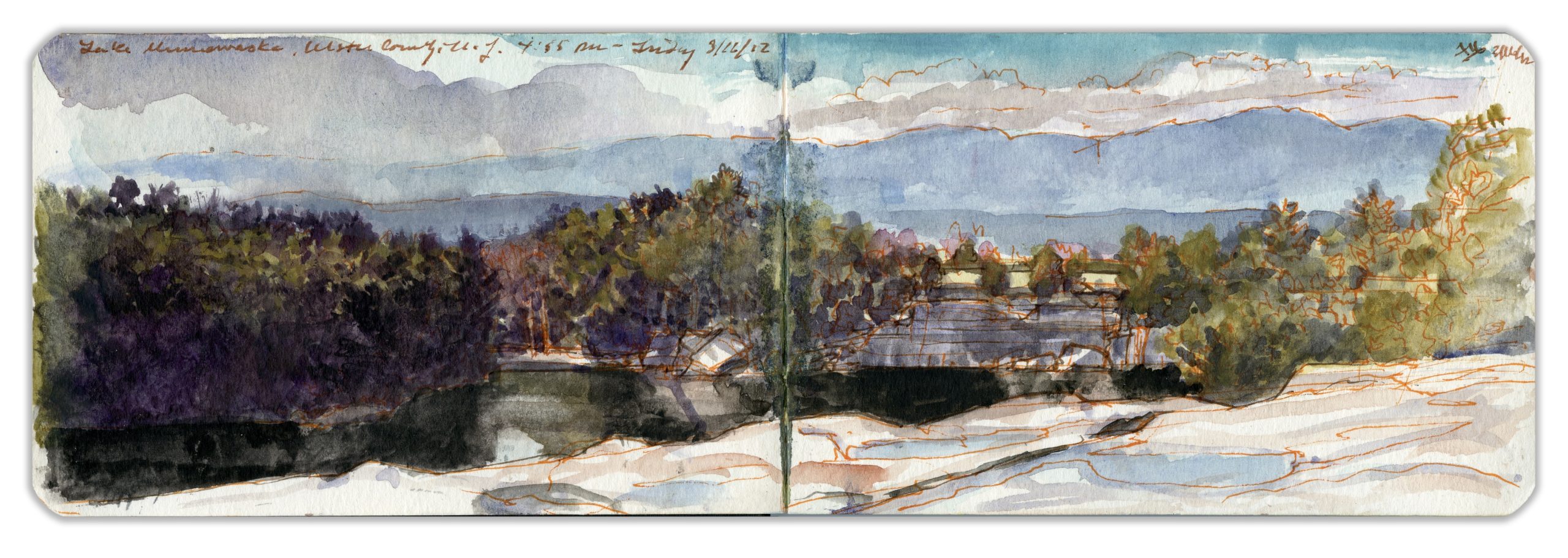
Bonticou Crag is approached via a twenty-minute rock-scramble not for faint of heart nor weak of limb. In 2011 Kathie and I rented a weekend getaway in the village of High Falls, in Ulster County New York. The hamlet had grown up around a cluster of locks on the Delaware and Hudson Canal. It appealed to me in part because the historic setting awakened memories of my childhood in the Delaware Valley. Like Bucks County back in the day, Stone Ridge, High Falls and Rosendale has its share of resident artists and movie-stars. Painter Marc Chagall lived along Mohonk Road during the mid 1940s. Jake Berthot lived upstream in the town of Accord. We began a friendship with noted Polish artist Jan Sawka just before his unexpected death in 2012. The last time we saw him was a chance meeting on a hiking-trail near Lake Minnewaska. In precolonial times the bluffs above Rondout Creek had been a portage-site for getting above a high limestone shelf, over which the creek crashes into a gorge. Intermittent stretches of white water and languid pools descend from the great falls to a run of flat water beside Rosendale.

On Saturday, August 13, 2011 we drove to the Spring Farm Trailhead, to explore some of the woodland trails and carriage-roads leading to Bonticou Crag and Table Rocks. The temperature was already warm. By three in the afternoon the heat would be unpleasant. Neither of us being prepared to risk life and limb on the Bonticou rock-scramble. After parking we walked uphill beside grassy meadows on a mowed path. Passing into the woods we found an unimproved trail. Stepping over rocks and tree-roots we climbed the slope to what appeared to be a carriage-road, preserved by gentle maintenance. Wooden signs affixed to trees directed hikers to the Crag, Table Rocks and Farm Road. Having consulted a map prior to our departure I was mindful that Guyot Hill stood to the south. Beyond that was Mohonk Golf Course. A network of roads loops through the Preserve. Had one time and the inclination, one could pick up the trail at Spring Farm and follow it all the way through Minnewaska, past Lake Awosting to Sam’s Point, more than twenty miles as the crow flies. Having lingered over breakfast, anticipating crushing heat later in the day, we were not so ambitious. Following the carriage-road we made one circuit that brought us back to the turnoff for the crag trail. The road followed another great loop, debouching from the woods into a clearing below the towering limestone formation. Unpacking sandwiches and water-bottles, we sat on a fallen tree to eat our lunch.

I made two sketches of the crag, each showing the trail leading to opposite ends of the clearing.
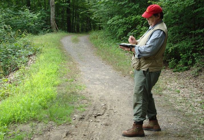
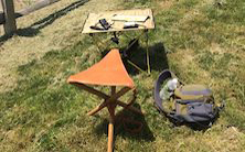
Having neglected to bring a folding stool I was obliged to stand, balancing my watercolors and book in one hand while I painted with the other. On the way down the hill Kathie jumped to the side, as a green and yellow garter-snake darted across the trail.


Painting along the Bonticou loop trail in Mohonk Preserve. Saturday August 13, 2011

April Dispatches are all now online. Thirty-one episodes, present in a user-friendly calendar view interface. Enjoy!

(A preview of SKETCHBOOK TRAVELER by James L. McElhinney (c) 2020. Schiffer Publishing).

Copyright James Lancel McElhinney (c) 2020 Texts and images may be reproduced (with proper citation) by permission of the author. To enquire, send a request to

ed******@ne***********.com


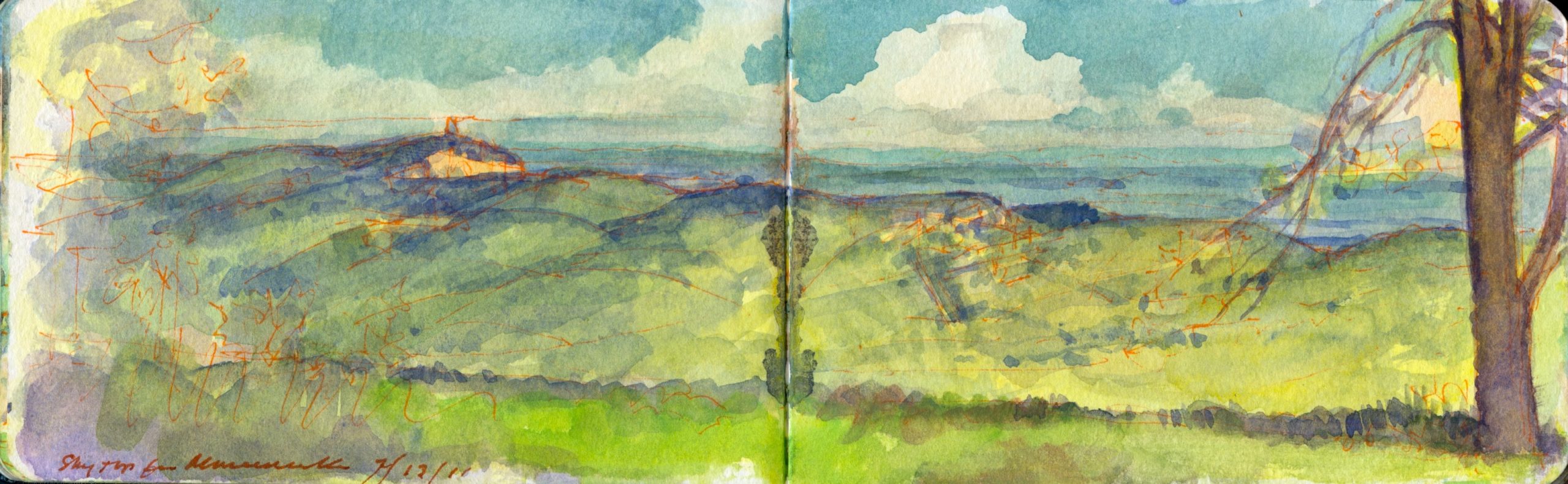
May 29, 2020. QT Dispatch #59. Mohonk Preserve from Minnewaska. July 13, 2011

Waiting for the crisis to pass, our thoughts go out to friends and loved-ones who also shelter in place. Old friends pass away, people we loved and admired. Immobilized for the time being, we can revisit destinations, near and far. join me in celebrating the joys of Quaranteam travel, the hope that these diversions might inspire us to value things we had taken for granted, to draw strength, wisdom and compassion from deeper engagements with nature.

. (Image and text were featured in the exhibition James McElhinney. Discover the Hudson Anew, curated by Laura Vookles. Hudson River Museum. Yonkers, New York. September 13, 2019 to February 16, 2020. Published also as a limited-edition in Hudson Highlands. North River Suite Volume One. Needlewatcher Editions. New York. 2018)


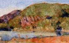
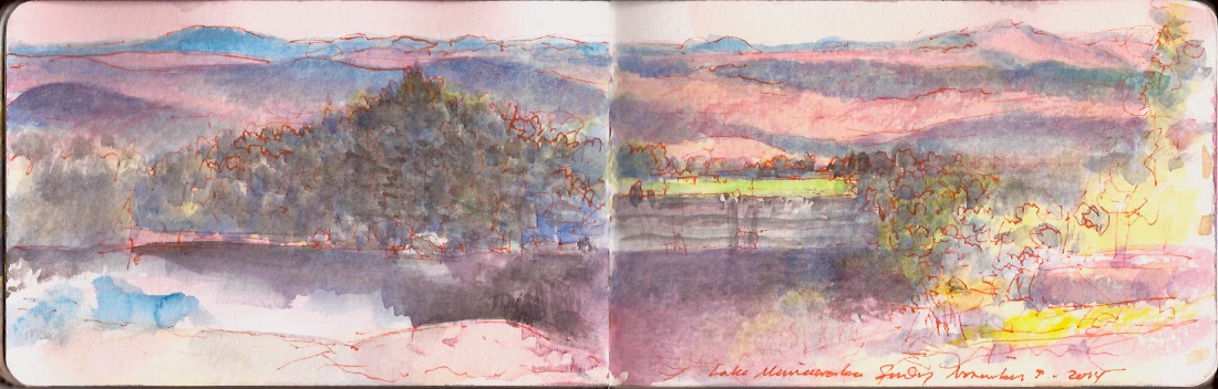
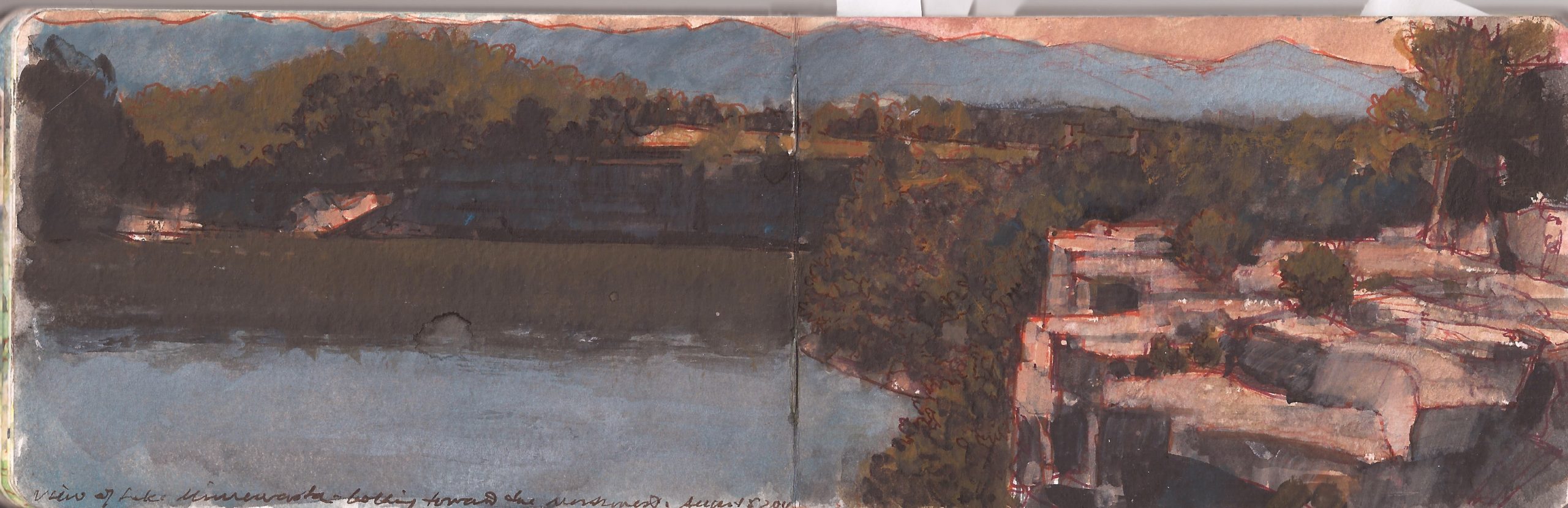
Mohonk from Minnewaska. Monday. July 7, 2011.

Highway 44/55 passes between New Paltz and Kerhonkson through a notch in the Shawangunk Ridge. From this point northward, the wooded tabular formation of Silurian limestone falls under the administrative control of Mohonk Preserve. Miles of nineteenth-century carriage-roads, and hiking-trails circumvallate the long mountain stretching south from Mohonk Mountain House, to beyond to Bonticou Crag, a rocky promontory at the far northern end of the ridge.


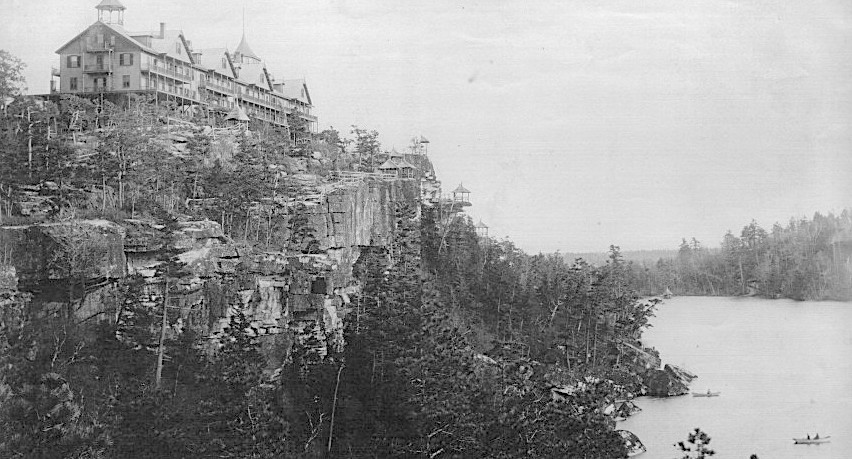
Mohonk Mountain House. New Paltz, New York (Reproduced under Fair Use, etc.)

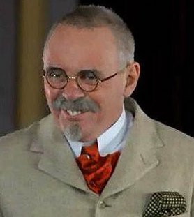
Established as a wilderness camp by Albert and Alfred Smiley in 1869, the hotel, spa and resort expanded to its present state by 1910, with subsequent improvements over las century. Belonging to the Society of Friends the Smile brothers set elegant Victorian resort within a wild setting, not just as an exotic getaway for privileged urban swells, but as an educational environment for the study of nature. The late nineteenth-century was an age of water-cures, colonic purges, dietary reforms and physical fitness training. In his film adaptation of Thomas Coraghessen Boyle’s novel The Road to Wellville, cineaste Alan Parker cast Mohonk Mountain House in the role of Dr. John Harvey Kellogg’s Battle Creek Sanitarium. Sir Anthony Hopkins’s performance was profoundly moving, in a cologastrointestinal sense.


Sir Anthony Hopins as health-guru Dr.John Harvey Kellogg
in Alan Parker’s 1994 film The Road to Wellville

Mohonk Preserve is accessible to hotel guests, and also to visitors who may obtain day-passes or purchase memberships.From level ground behind the former site of Minnewaska Cliff House, the view to northeast presents a number of landmarks. To the right is the rocky notch of Highway 44/55.


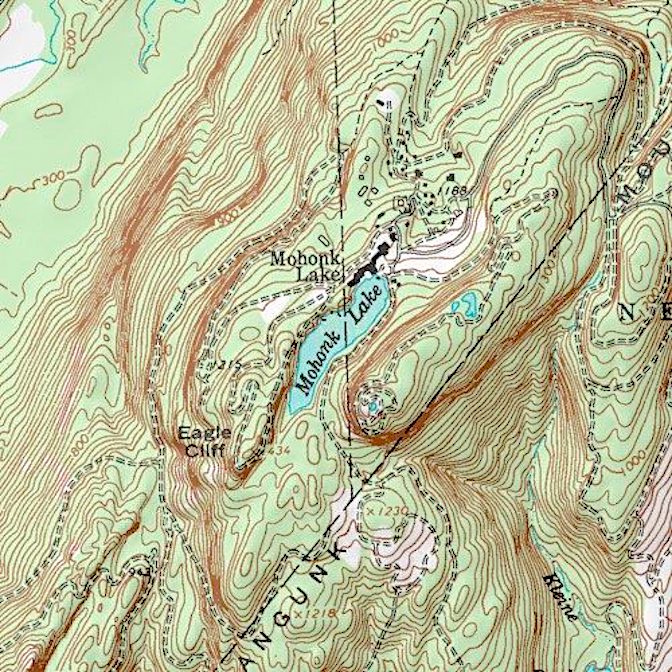
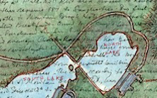
USGS Topographical map of Lake Mohonk, Skytop and the grounds of Mohonk Mountain House

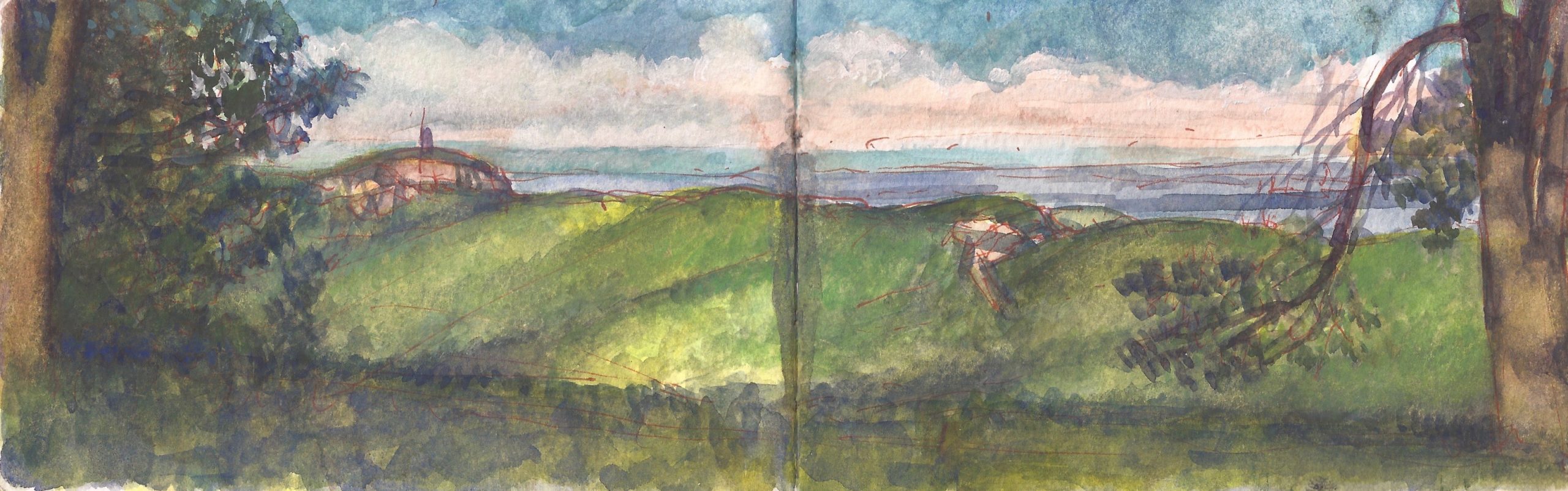
To the left is a promontory known as Skytop. Crowned by an observation tower, it is a popular destination for hikers. The wooded ridge-crest below it is rimmed with vertiginous heights that attract legions of free-style rock-climbers. Hikers carrying coils of rope and rolled crash-mats are common sights. The Mohonk Preserve visitor center is less focused on breakneck sports than on interpreting the geology, botany and wildlife found in the sixty-four thousand acres under its control. 150 years after its establishment, Mohonk still reflects the Smileys’ vision.


Mohonk Reserve from Minnewaska.


April Dispatches
are all now online. Thirty-one episodes,
presented in a user-friendly calendar view interface. Enjoy!

(A preview of SKETCHBOOK TRAVELER by James L. McElhinney (c) 2020. Schiffer Publishing).

Copyright James Lancel McElhinney (c) 2020 Texts and images may be reproduced (with proper citation) by permission of the author. To enquire, send a request to

ed******@ne***********.com


QUARANTEAM TRAVELER: DISPATCHES FROM THE DESKTOP. APRIL 2020


My life is a project. It always has been. On Wednesday, April 1, 2020. Kathie and I were already twenty-four days into self-imposed quarantine. New York City was seeing a sharp rise in new cases, hospitalizations and fatalities. This would continue for several weeks before infection rate showed signs of ebbing. Unable to get to my studio in Haverstraw, New York I kept busy writing, transforming my journals from 1990 to 1992 when I visited and painted Civil War battlefields under threat from development. At the time it seemed like a piquant metaphor for how the American landscape is a quarrel about what it is. In a divided nation thirty years later, it seems timely again. My intention had always been to write a book on the subject. Suddenly I had time to devote to the task.
Pouring over pairings of words and texts, like in my recent exhibition curated by Laura Vookles at Hudson River Museum, it occurred to me to start a quotidian blog that celebrates travel, making art and keeping journals. In other words, paying attention. Perhaps I thought it might provide some with relief from cabin-fever, or soothe the anxiety of those gripped by fear. Now in the second month of this project, I find the process has had a beneficial effect on me, and hope that it brings comfort to others. At the end of each month, daily posts will be archived on new monthly webpages. Below is the page for April 2020. Additional content may be accessed by links embedded in each post. Enjoy!


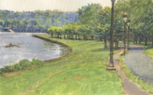
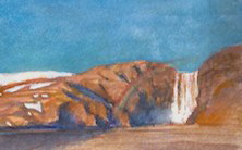
April 24. Friday. Under the Volcano (Eyjafjallajoküll)

April 25. Saturday. The View from Olana

April 26. Sunday. Outriggers on the Schuylkill

April 27. Monday. Fort Tryon Park, Manhattan


April 28. Tuesday. Revolutionary War Battery, Fort Lee, New Jersey

April 29. Wednesday. Tracking Eliza: An Art-Historical Detective Story

April 30. Thursday. John Burroughs Grave-site, Roxbury, New York