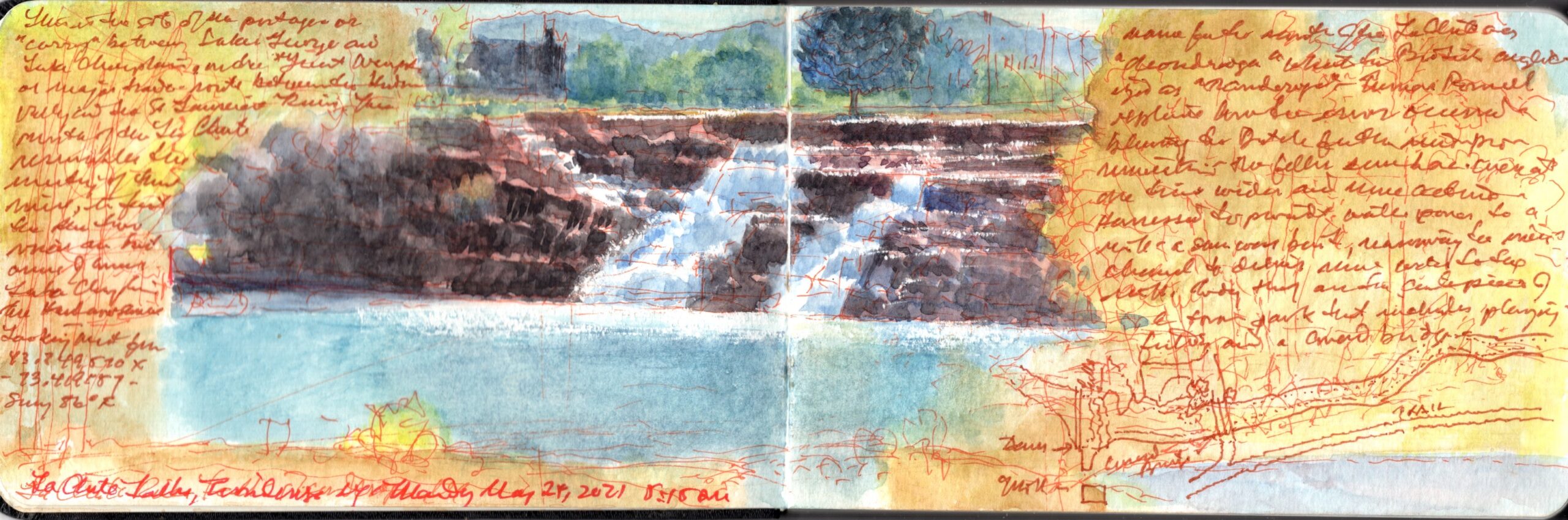
La Chute Falls. Ticonderoga, New York. May 24, 2021. Looking west from: 43.749520 x -73.419157. 17:15h
Moving overland through the White Mountains of New Hampshire and the Green Mountains of Vermont one finds the northeastern extremity of the Hudson watershed. Rising from its source near Dorset in southern Vermont, the Battenkill River flows into the Hudson River opposite Schuylerville. Thirty miles to the north is the southernmost part of the Saint Lawrence drainage-basin. Nestled within a slim declivity between two mountain ranges, the waters of Lake George descend by way of the La Chute River, a three-and-a-half-mile channel that tumbles over falls and rapids for two hundred and thirty feet before spilling into Lake Champlain beneath the walls of Fort Ticonderoga. Fifteen miles to the north, Crown Point had for centuries marked the boundary between Abenaki (Algonquin) lands to the east and Haudenosaunee (Iroquois) territory to the west. Because of their strategic importance as defensible choke points in the water route between Montreal and New York, Crown Point and Ticonderoga were heavily fortified during the French and Indian War (1754–63) and the American Revolutionary War (1775–83).
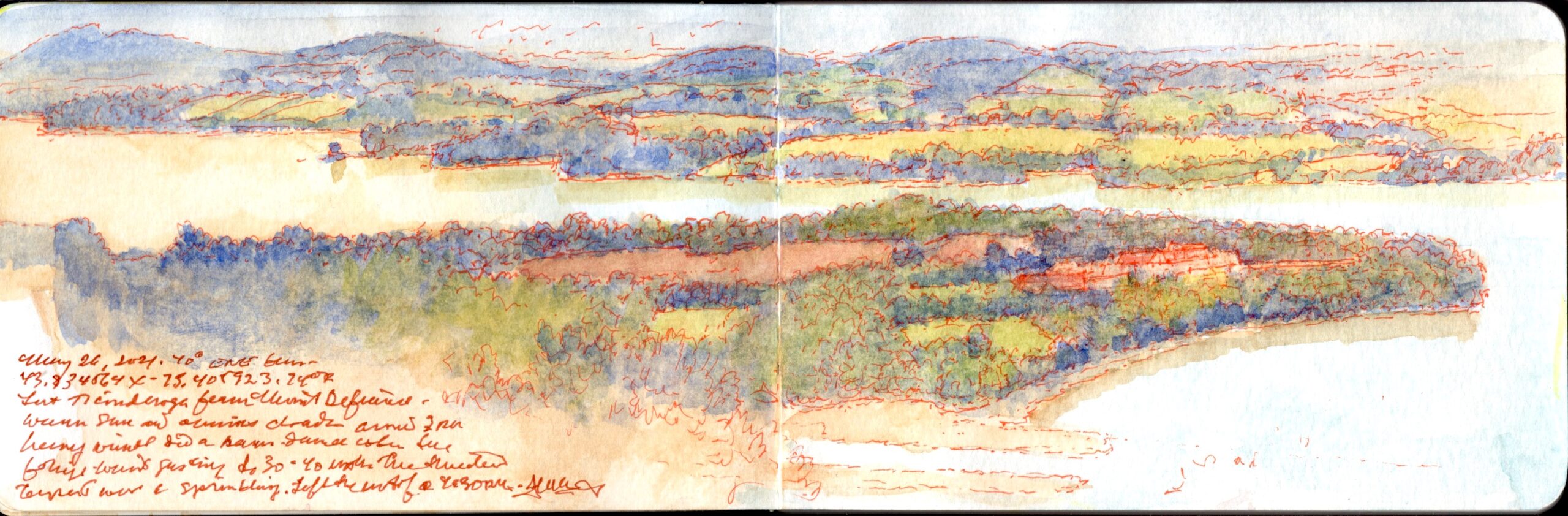
Fort Ticonderoga from Mount Defiance. 40 degrees ESE from 43.8345644 x -75.405923. May 26, 2021. 14:30h
The summit today is accessible by automobile. A token obtained from the ticket-gate at Fort Ticonderoga raises the barrier to a vertiginous climb up the narrow blacktop road. One marvels at how in less than a day Burgoyne’s pioneers and artillerymen had manhandled heavy guns up these slopes. As I was packing up to depart, high winds churned through the foliage, straining the tree-branches from which were ripped fistfuls of leaves. Thundering black clouds rolled up the lake, dragging thick grey rain-sheets in their wake. Peppering the summit of Mount Defiance with a few drops, the storm battered Vermont farm-fields a few miles to the east.
A puff of white smoke appeared beside the citadel, followed by a sound like a cat passing wind; the distant report of a cannon.
Now available to own: Sketchbook Traveler: Hudson Valley
La Chute Falls. Ticonderoga, New York. May 24, 2021. 5:15 PM. Looking west from: 43.749520 x -73.419157
Explore my Quaranteam Dispatches, from April 1-June 8, 2020